Overview
GeoCarve is an online map design platform that connects geographic data with the production of personalized wooden artwork. Users can select any location, customize its visual appearance, and export the finished composition as a vector file prepared for CNC cutting.
A password-protected personal account provides a dedicated workspace for managing map projects. Users can create, rename, edit, duplicate, lock, and delete maps, while a unique link makes each project easy to access or share throughout the design and production process.
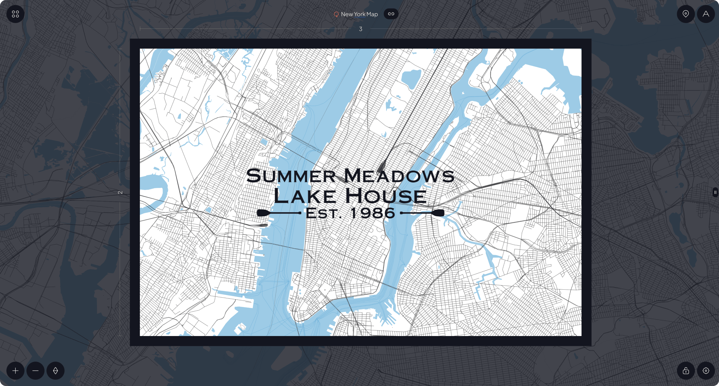
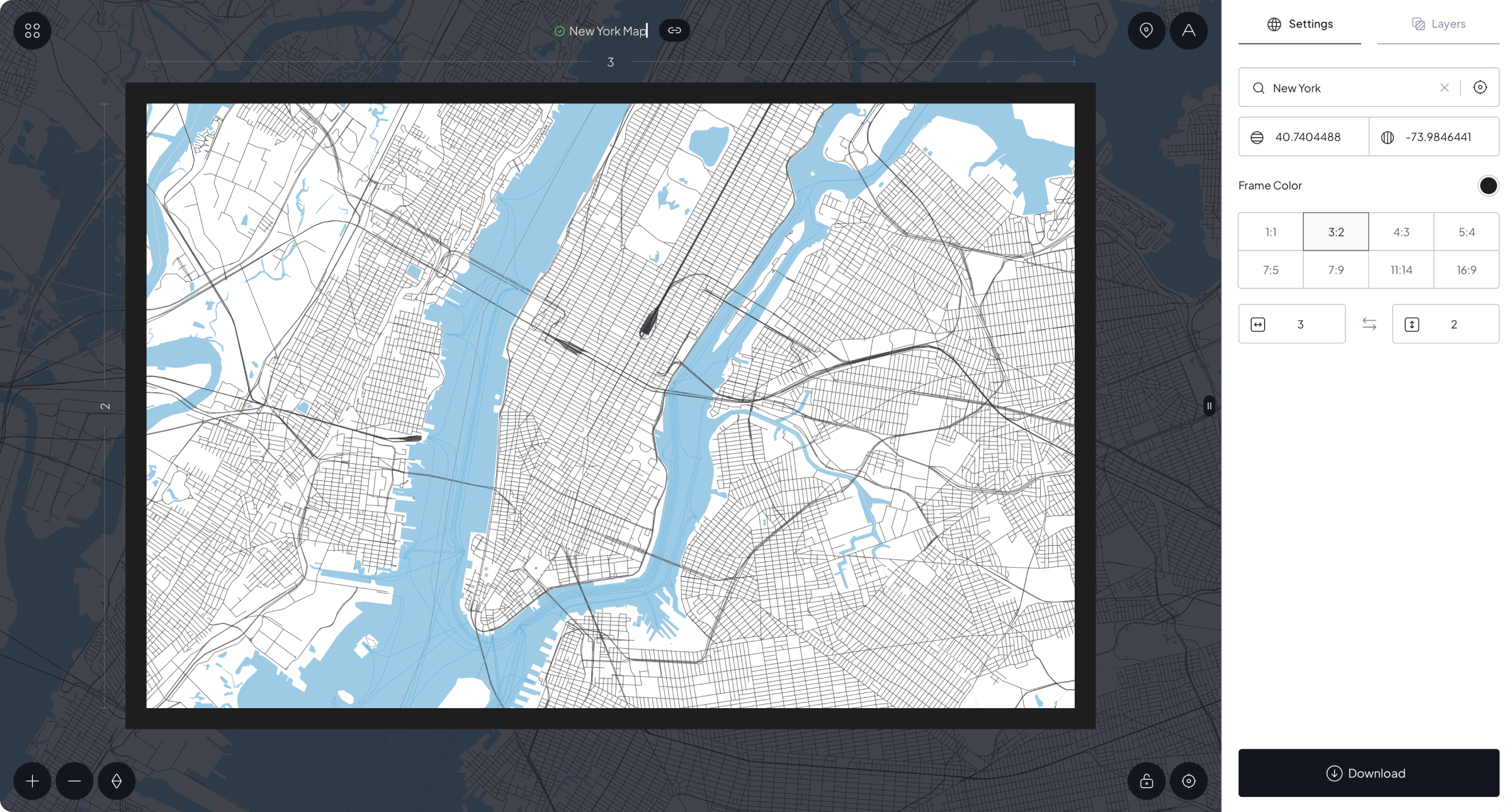
The editor provides control over map dimensions, frame proportions, frame color, geographic layers, text, and decorative icons. Real-time previews allow every element to be positioned and adjusted before the final production-ready artwork is downloaded.
Core Challenges
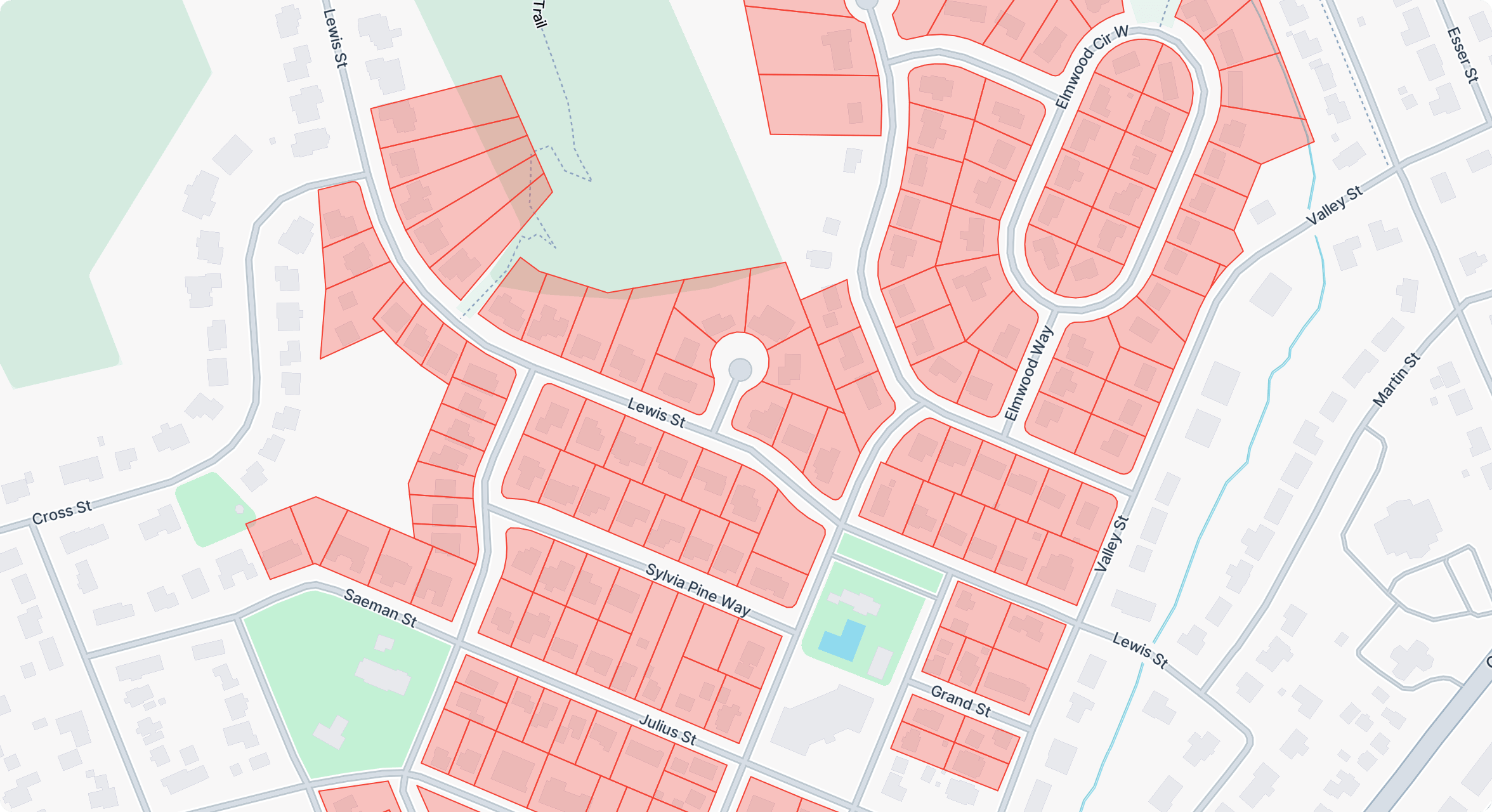
The primary challenge was converting detailed Mapbox data into clean vector artwork suitable for physical manufacturing. Roads, buildings, boundaries, waterways, coastlines, contour lines, and bathymetric data needed to remain visually clear and technically usable across different locations, scales, frame sizes, and proportions.
The system also needed to combine geographic navigation with the flexibility of a graphic design application. Map positioning, layer management, text editing, icon transformations, frame previews, project storage, vector export, and e-commerce integration had to work together within one intuitive workflow.
The Solution
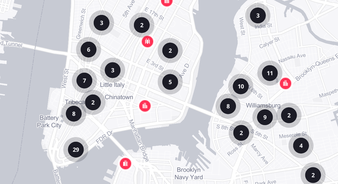
MapCuts was developed as a custom WordPress plugin with an interactive Mapbox-based editor and a dedicated user dashboard. Preset aspect ratios, adjustable dimensions, location search, coordinate controls, and live frame previews allow users to define the physical format and geographic coverage of each map.
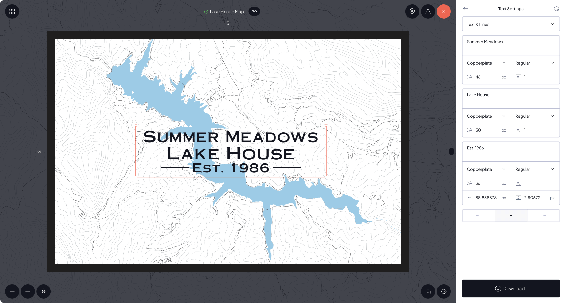
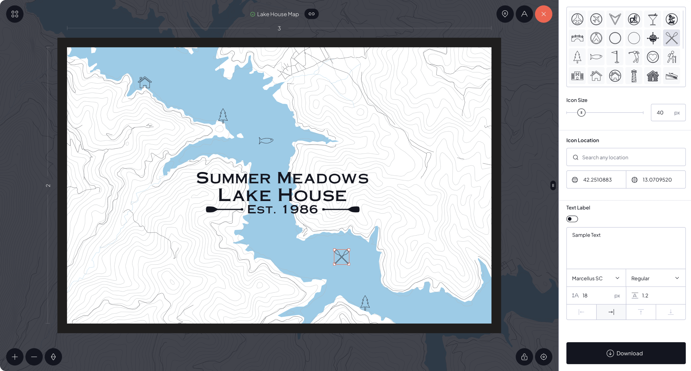
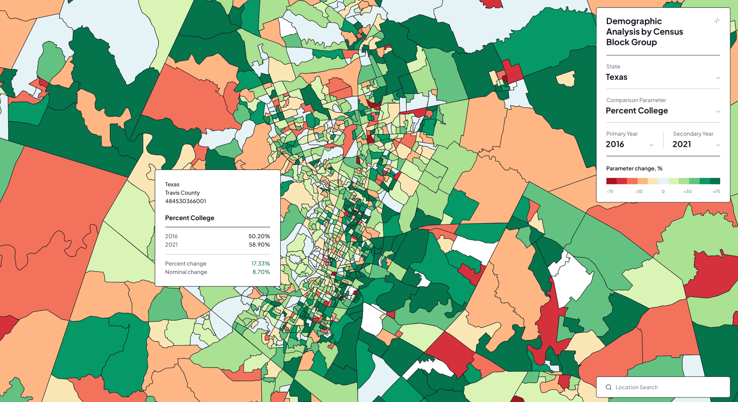
A flexible layer system provides control over boundaries, roads, transport, buildings, land, water, coastlines, waterways, contour lines, and bathymetry. Users can also create custom data-driven layers, add free-form or template-based text, place predefined icons, and move, scale, rotate, or lock design elements directly on the map.
Key Outcomes
The completed platform creates a connected workflow from geographic selection and visual customization to production-ready vector export. It reduces the manual preparation normally required to convert conventional web maps into structured artwork suitable for automated CNC manufacturing.
Saved projects, reusable design controls, unique map links, and Shopify integration connect customer customization with ordering and production. This provides a scalable foundation for creating personalized wooden maps, commemorative location artwork, and framed geographic gifts.