Overview
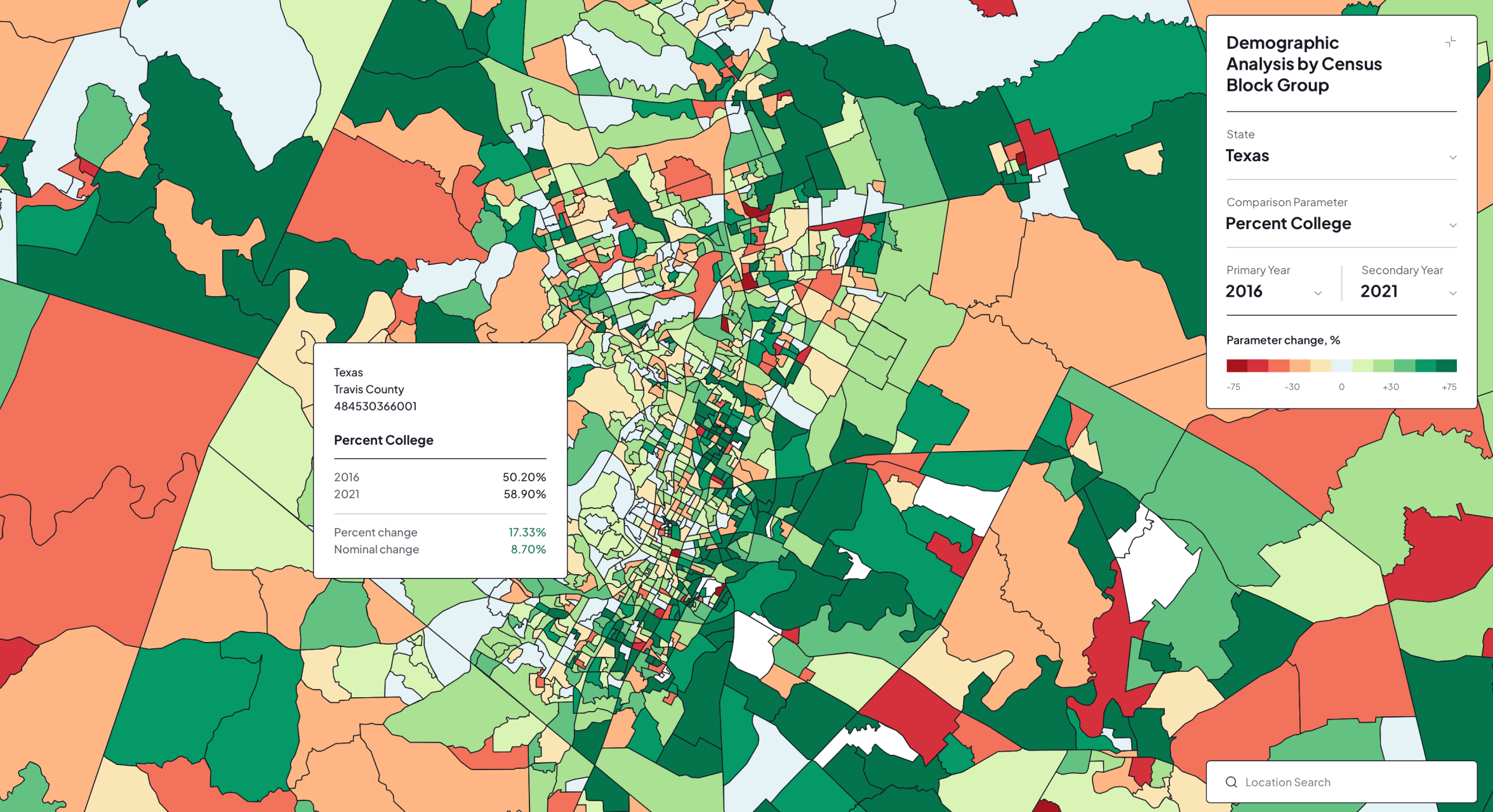
Treweler GeoJSON Addon is a commercial WordPress extension that expands Treweler Pro with advanced tools for importing and presenting GeoJSON data. It allows geospatial files to be uploaded, configured, and assigned to maps through a familiar WordPress administration workflow.
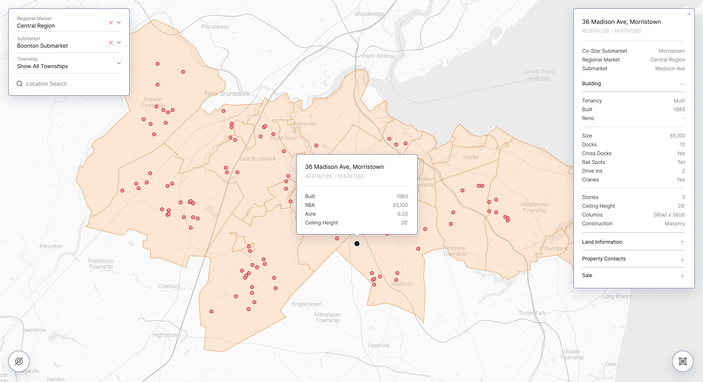
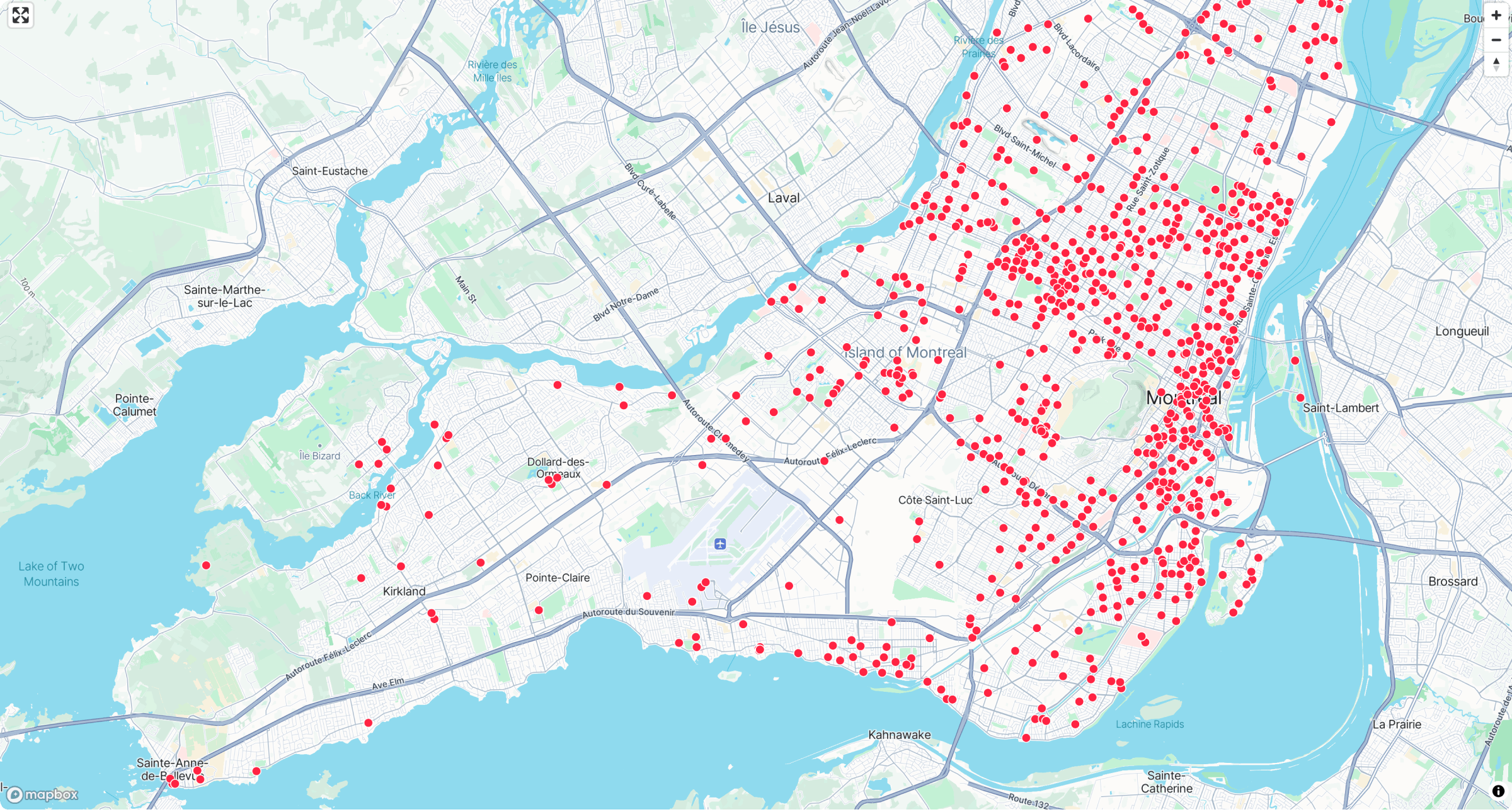
The addon supports the primary GeoJSON geometry types: Point, LineString, and Polygon. These formats can represent individual locations, roads, routes, boundaries, service areas, administrative regions, and other geographic features.
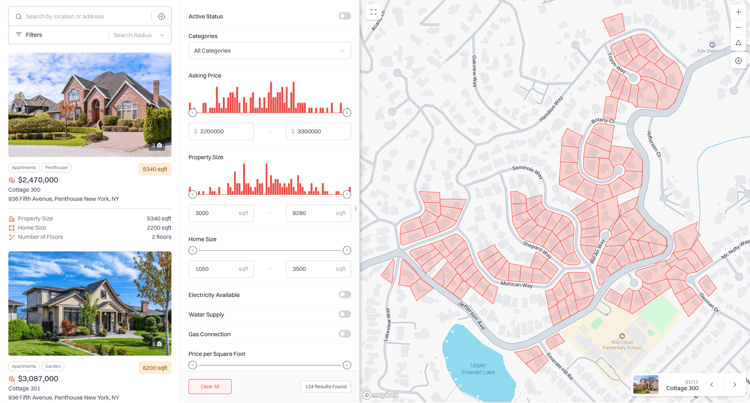
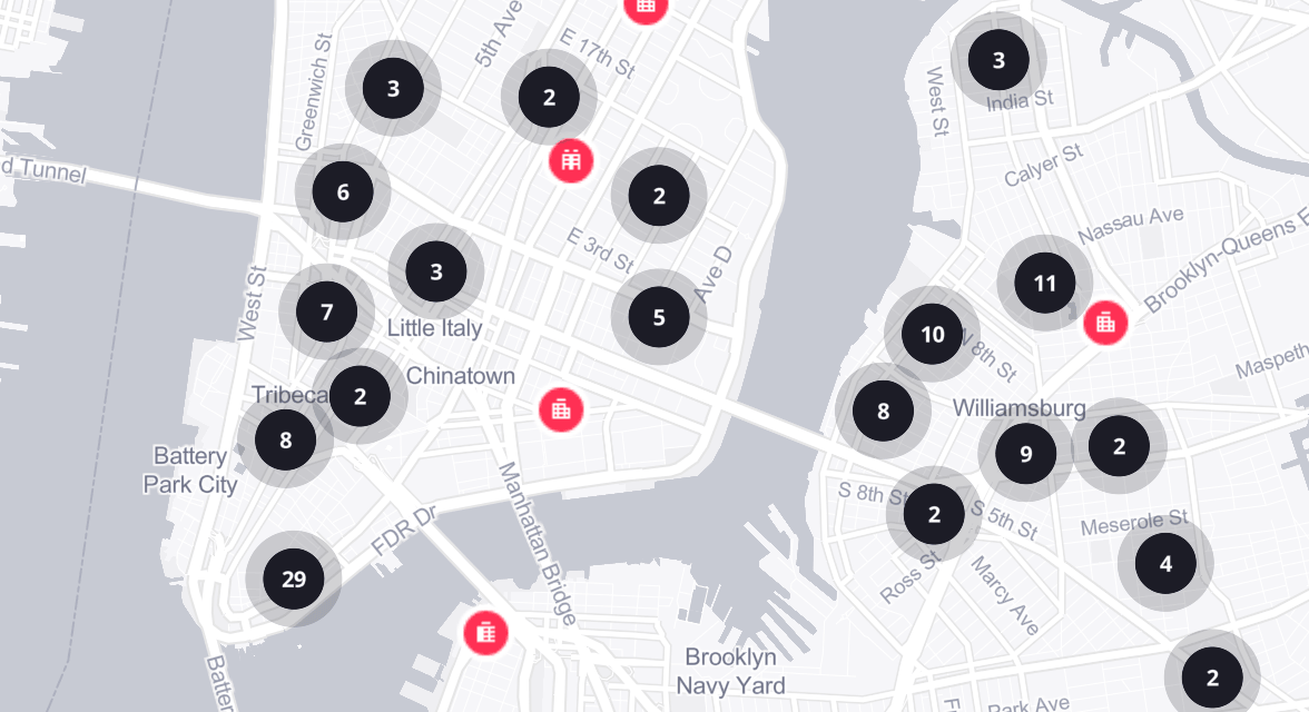
Imported data can be previewed and styled directly within Treweler, then displayed across one or multiple maps. Configurable interactions, attribute-based popups, links, marker triggers, and automatic map positioning turn uploaded geographic data into an interactive part of the mapping experience.
Core Challenges
The central challenge was to make a technical geospatial format accessible to WordPress users. Importing GeoJSON normally requires knowledge of data structures, map layers, and front-end development, so the workflow needed to simplify these processes without limiting control over the resulting visualization.
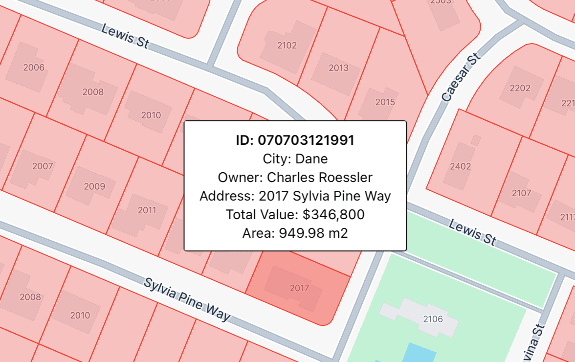
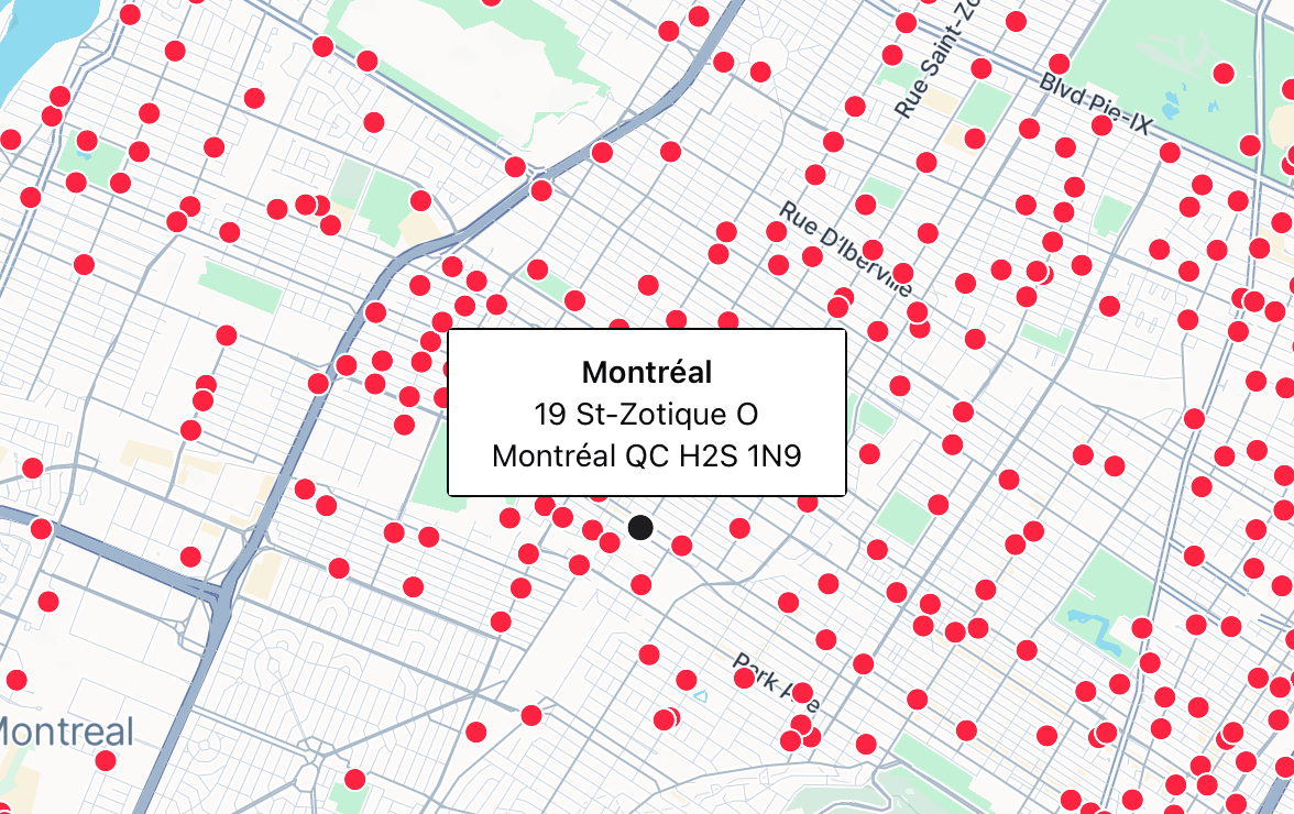
The addon also needed to handle different geometry types and unpredictable attribute structures consistently. Points, lines, and polygons require different styling options, while interactions, popups, links, and map behavior must remain reliable across multiple imported files, published maps, and evolving datasets.
The Solution
The addon was developed as a native extension of the Treweler Pro workflow. Users can upload GeoJSON files from the WordPress admin panel, preview their contents, assign them to one or more maps, and manage them alongside existing Treweler shapes and geographic content without leaving the familiar interface.
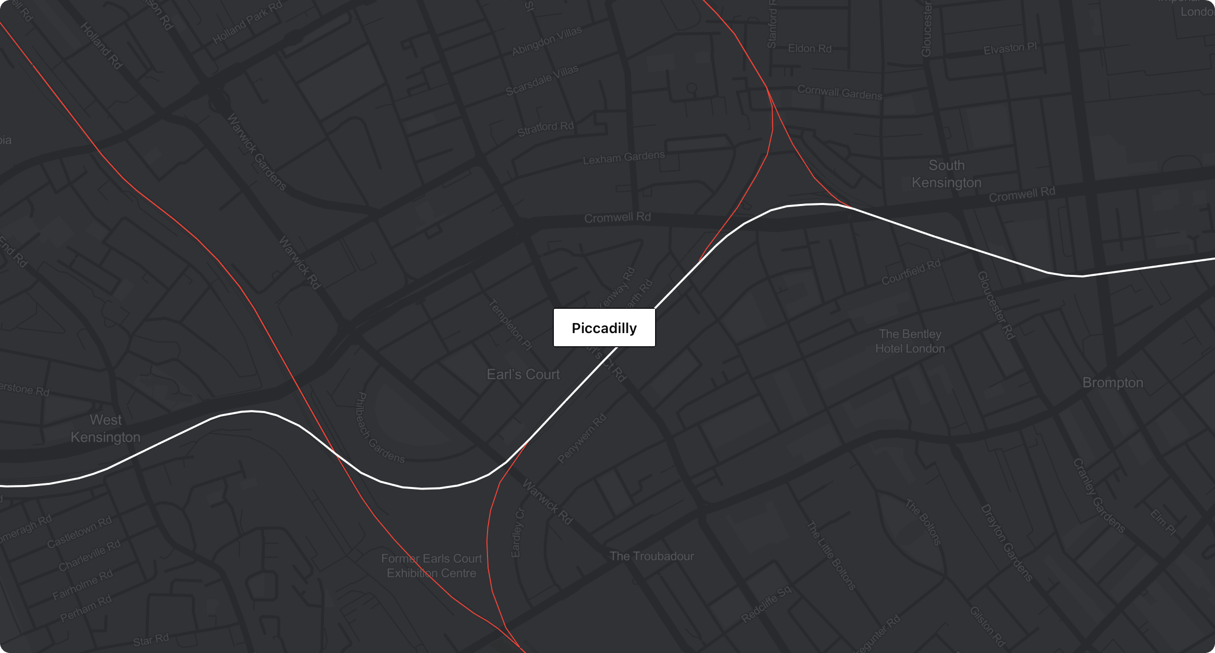
Dedicated controls provide detailed styling for fills, strokes, points, borders, opacity, width, and dash patterns in both default and hover states. Additional settings enable attribute-based popups, clickable links, marker-triggered actions, feature highlighting, and automatic zooming to selected geographic shapes.
Key Outcomes
The completed addon reduces the technical work required to incorporate structured geospatial data into WordPress maps. Existing GeoJSON datasets can be imported and maintained through the administration area without developing custom map layers and interactions for every project.
It also transforms static geographic files into configurable interactive experiences. Styling, metadata, links, marker connections, and automatic map positioning allow the same foundation to support boundaries, infrastructure, routes, service areas, research data, and other location-based applications.