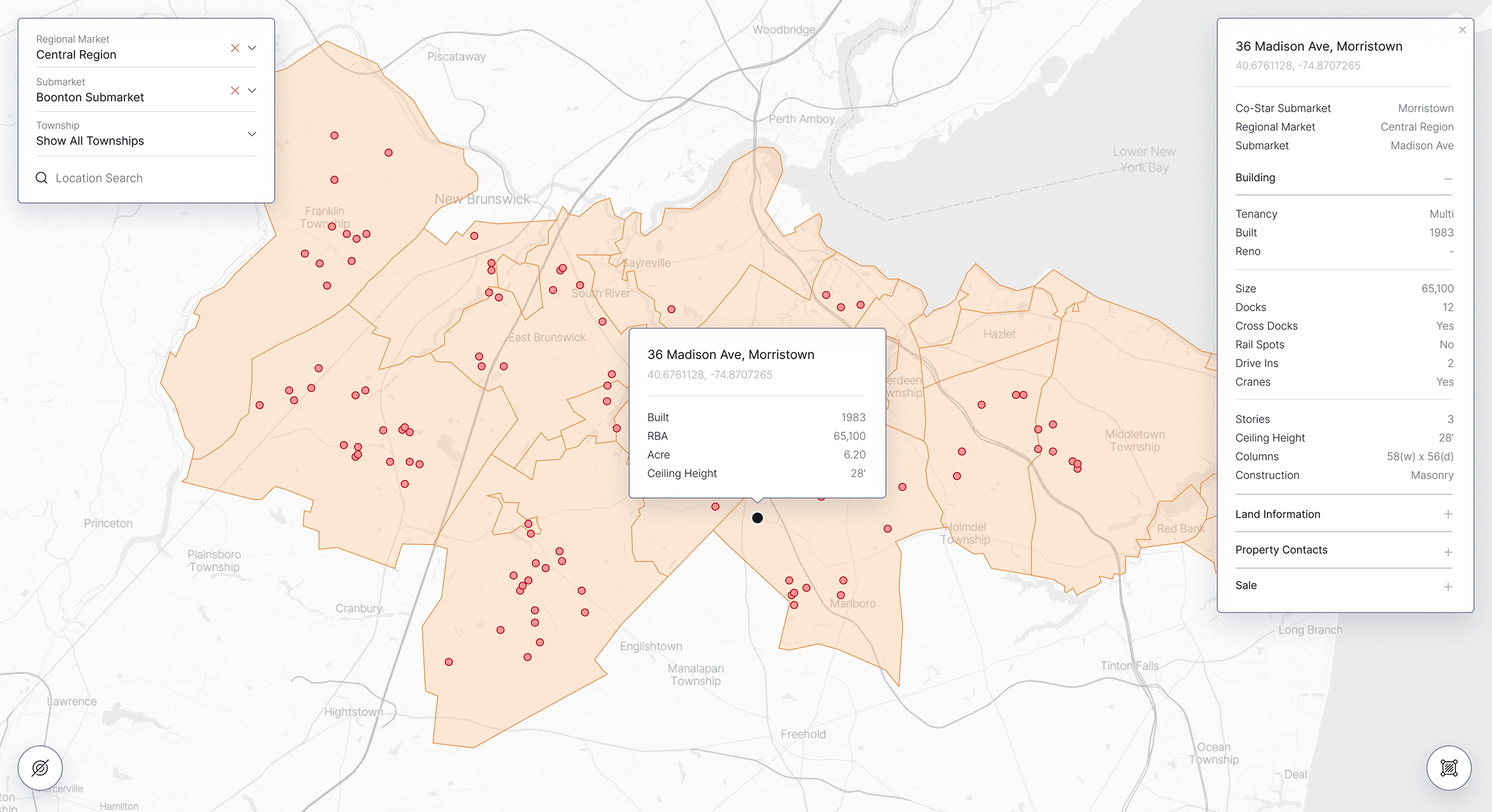
Overview
Treweler Marker Submission Addon is a commercial WordPress extension that enables visitors to submit locations and related information directly through Treweler maps. It transforms a standard interactive map into a collaborative platform for collecting community-generated geographic content.
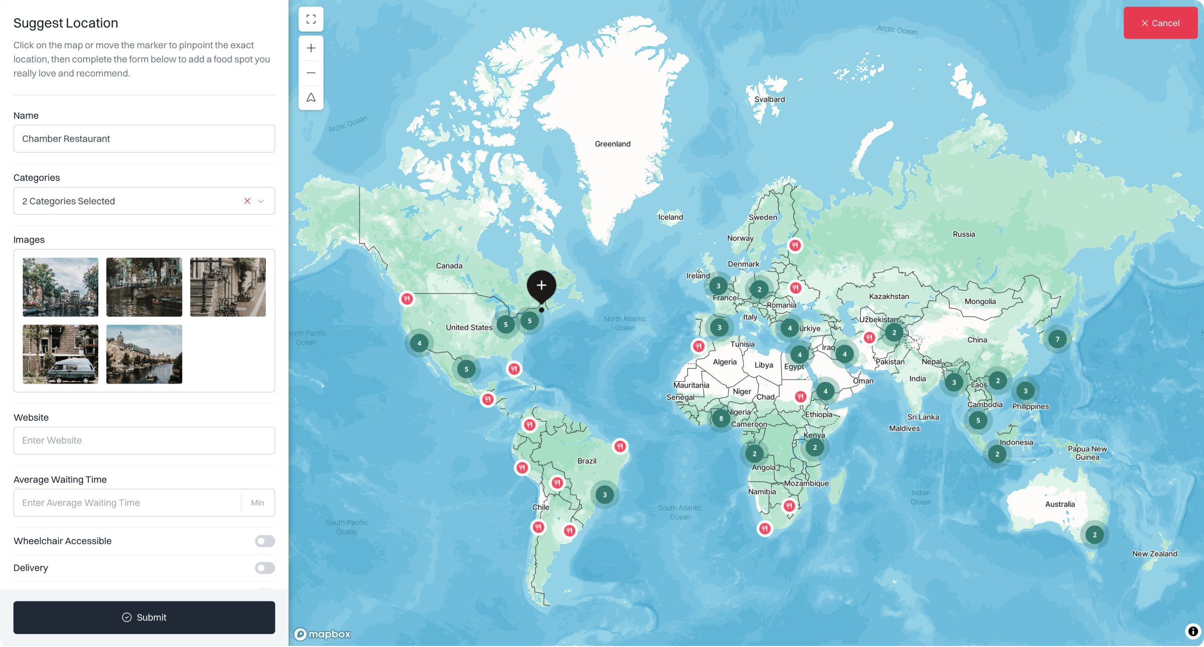
Users can select a position on the map and complete a configurable submission form containing marker names, categories, custom fields, and images. Each submitted location can automatically inherit a predefined Treweler marker template, ensuring consistent styling and data structure across the map.
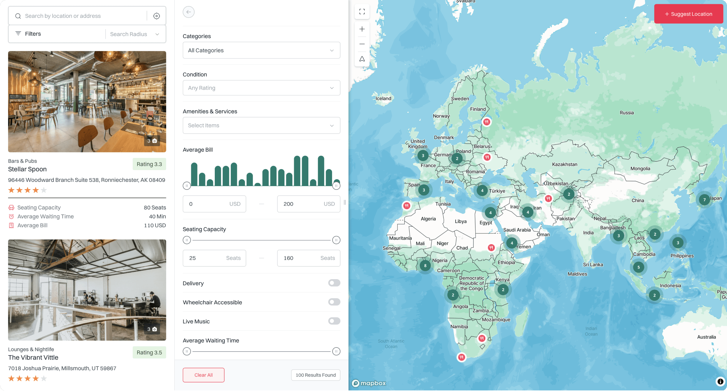
Administrators retain control over the entire workflow through manual review or automatic approval modes. Customizable buttons, form content, validation messages, image limits, and sidebar settings allow the submission experience to be adapted to different projects, audiences, and moderation requirements without changing the underlying map structure.
Core Challenges
The primary challenge was allowing public users to contribute structured location data without providing access to the WordPress administration area. Selecting a geographic position, entering relevant information, uploading images, and confirming a submission needed to feel like a natural extension of the map experience.
The workflow also needed to balance easy participation with administrative control and data consistency. Submitted markers had to follow established templates, categories, custom fields, and upload restrictions while supporting both moderated projects and maps where new content could be published immediately.
The Solution
The addon was developed as a native extension of the Treweler Pro map workflow. Marker submissions can be enabled independently for each map, with controls for the submission button, positioning marker, sidebar dimensions, assigned marker template, and preferred approval mode directly within the WordPress administration interface.
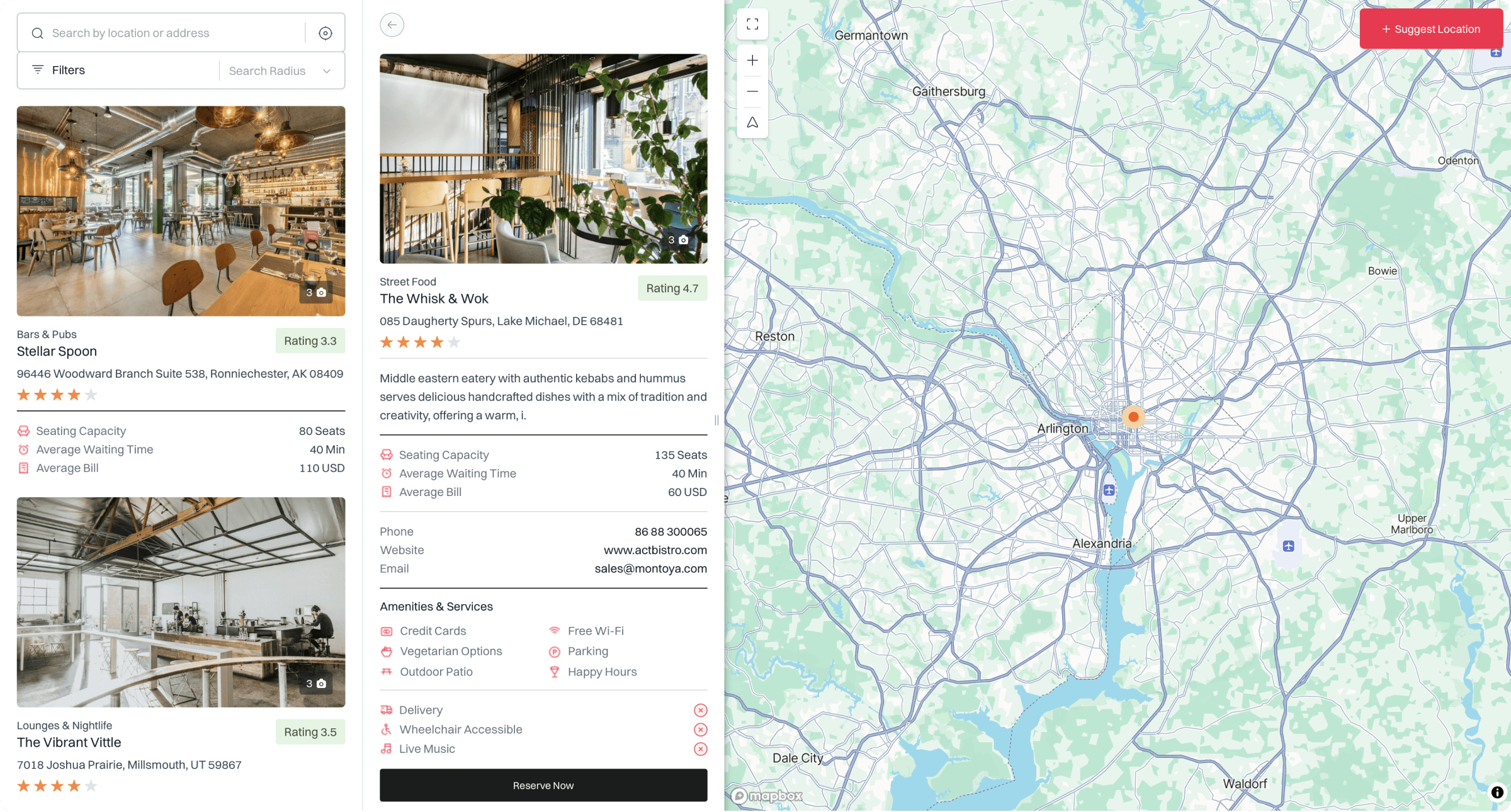
A configurable form system allows administrators to activate, deactivate, and reorder fields while defining available categories, primary categories, custom fields, and image upload restrictions. Editable labels, placeholders, instructions, validation feedback, success messages, and email notifications provide control over both the user experience and moderation process.
Key Outcomes
The completed addon enables map owners to collect location-based content directly from their visitors. Community members, customers, and project contributors can add locations through the public map interface, reducing the need for administrators to gather and enter every marker manually.
Its adaptable submission and approval workflows support community directories, crowdsourced maps, public reporting tools, local guides, event listings, and collaborative research projects. Consistent templates and configurable moderation help contributed content remain organized as the map grows.