Overview
SiteMatrix is a custom interactive mapping application that brings industrial property inventory, lease comparables, and market boundaries together in one analytical environment. It transforms extensive real estate records into a visual research tool for evaluating properties within their geographic and commercial context.
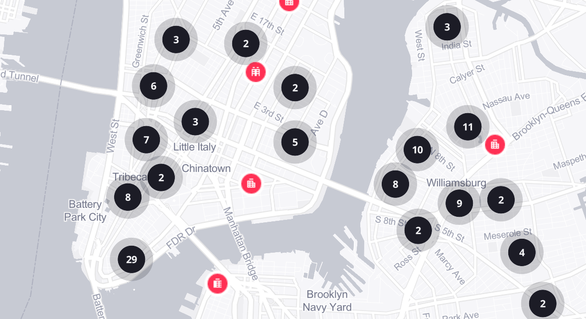
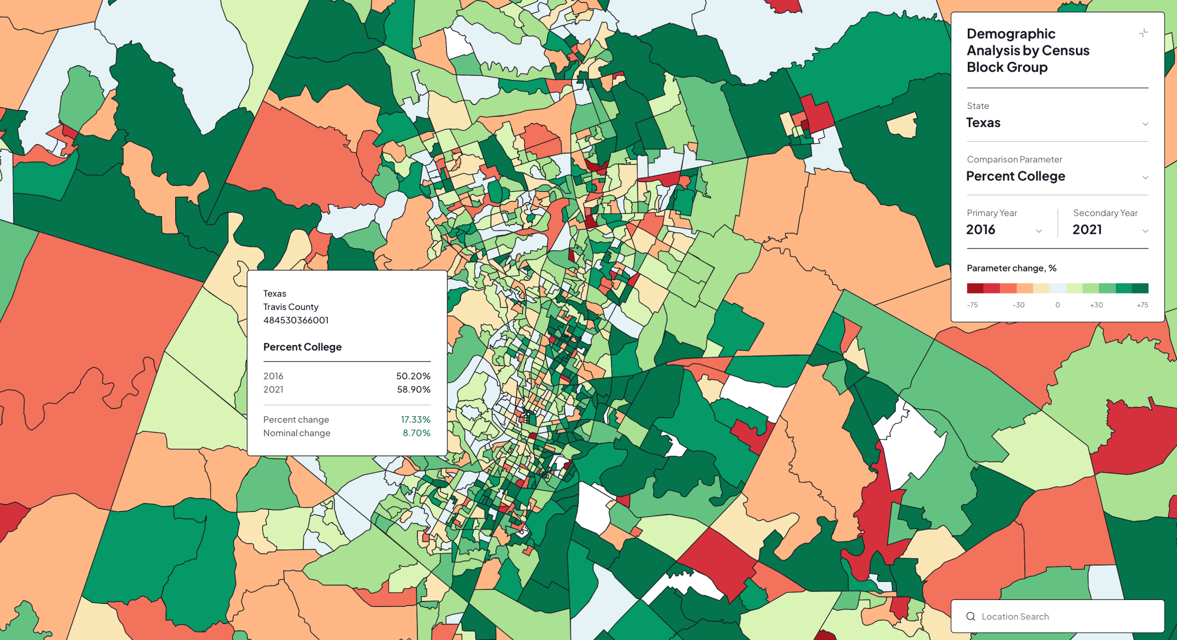
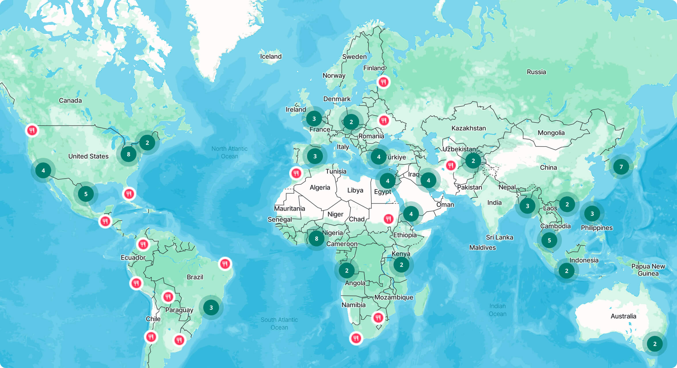
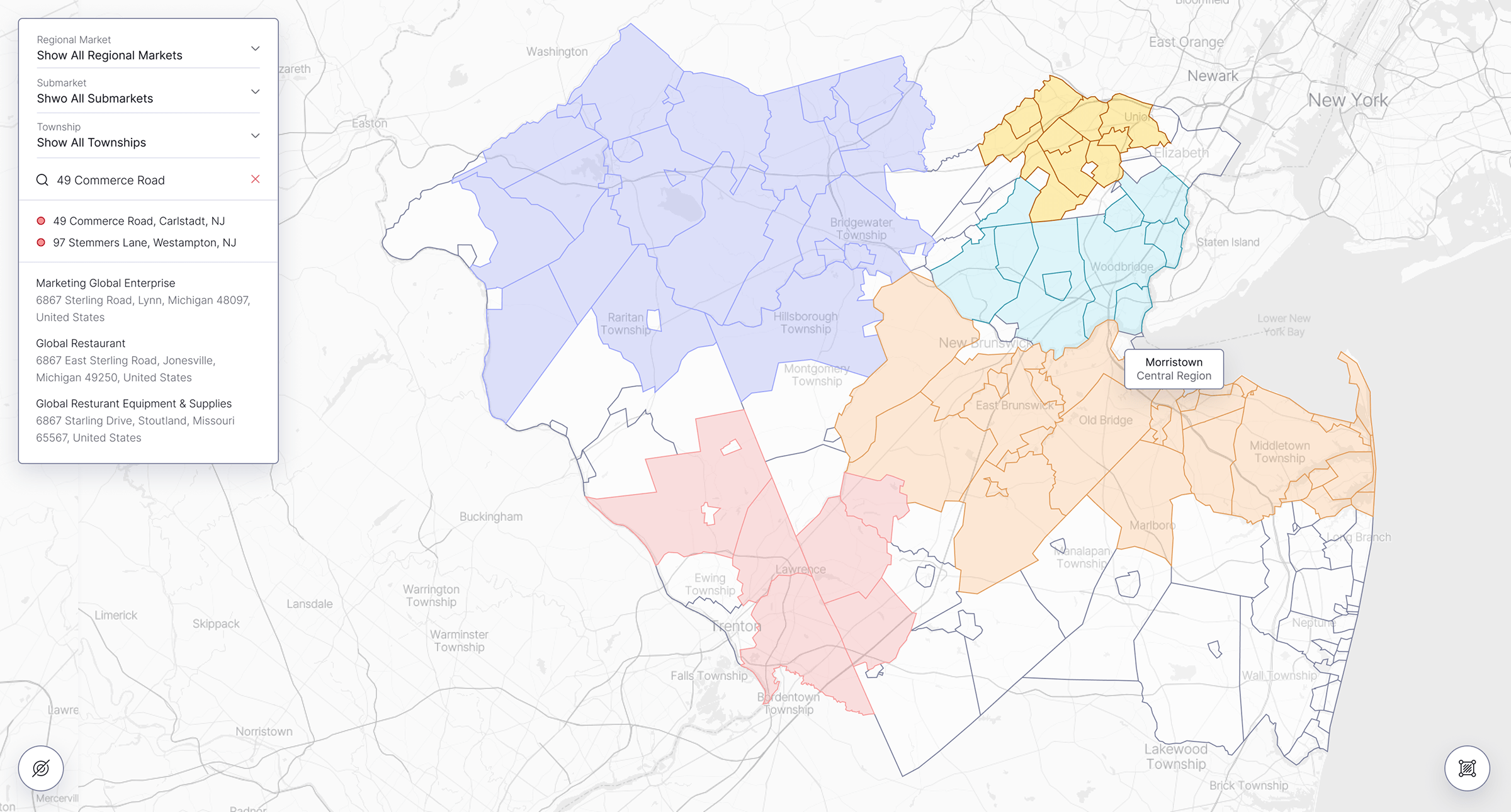
Users can navigate between regional markets, submarkets, municipalities, and townships while independently displaying or filtering buildings and lease comparables. Interactive boundaries clarify the structure of each market and show how individual properties relate to surrounding locations.
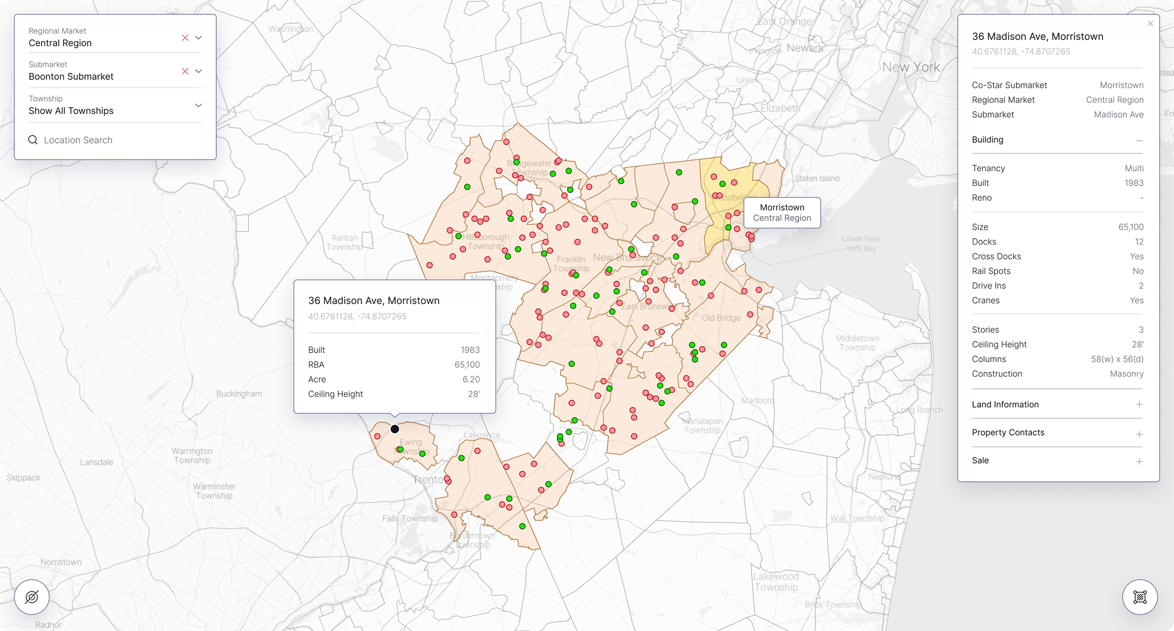
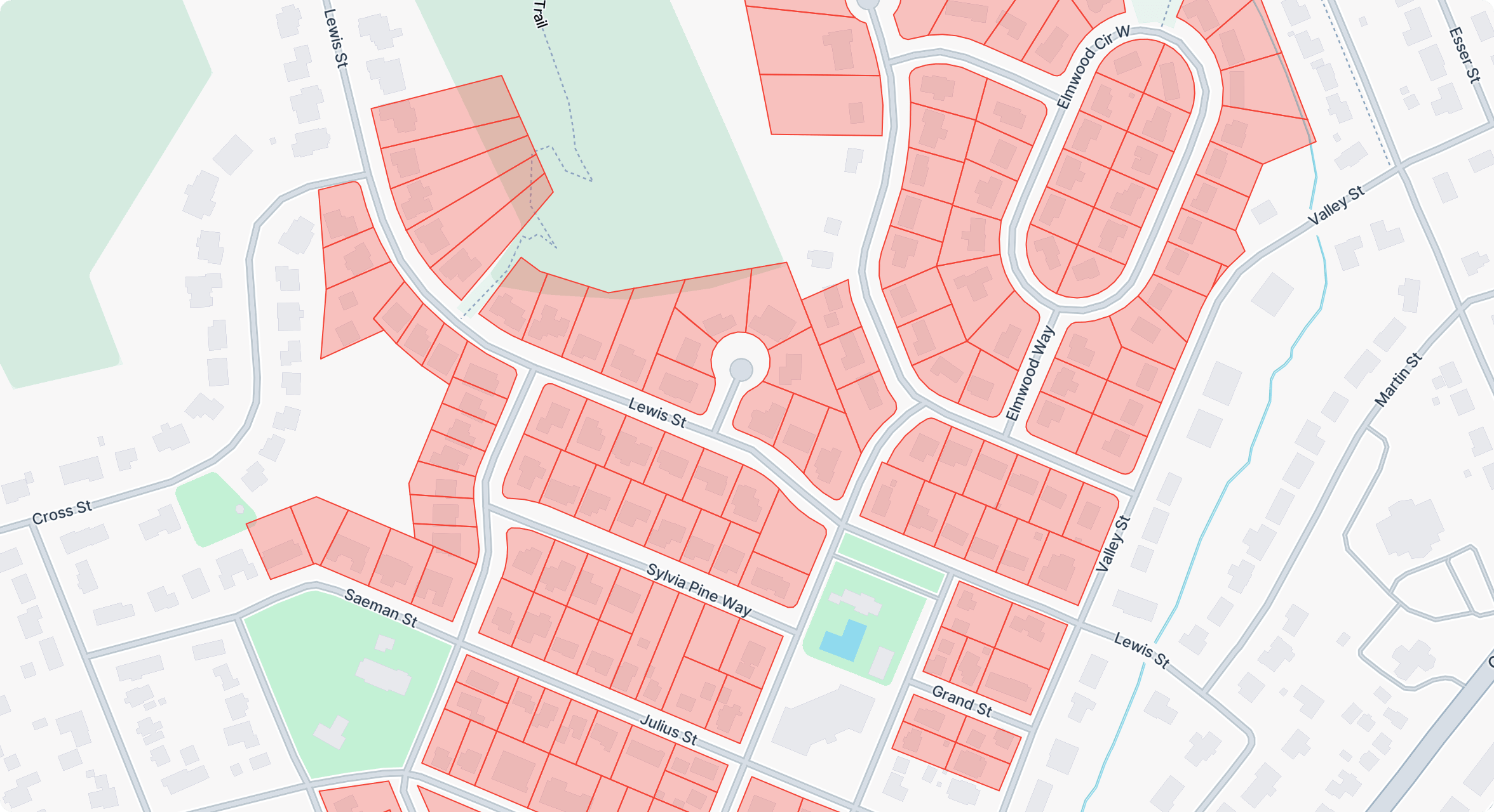
Detailed property panels present information about building size, tenancy, construction, ceiling height, loading facilities, land area, zoning, ownership, sales, and current tenants. Lease records include tenant details, rent, lease term, commencement and expiration dates, improvements, and other transaction data.
Core Challenges
The primary challenge was combining several independent datasets into one consistent geographic system. Property and lease records stored in CSV files had to be connected with coordinates, municipalities, submarkets, regional markets, and detailed GeoJSON boundaries while accounting for overlapping geographic classifications.
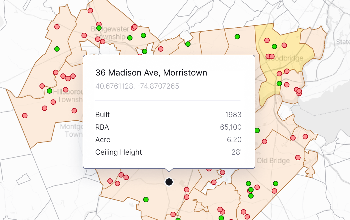
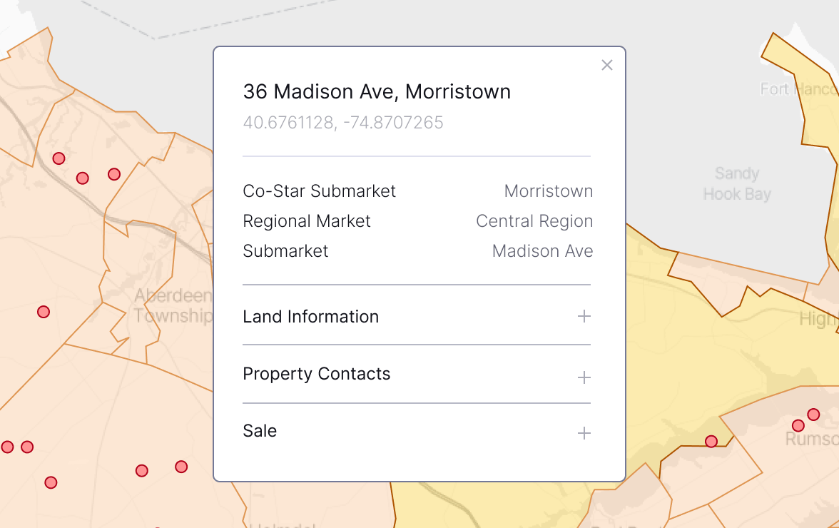
The application also needed to present hundreds of properties and lease transactions without overwhelming the map. Filters, boundaries, markers, search results, hover states, popups, and detailed panels had to remain synchronized while providing quick access to extensive commercial real estate information.
The Solution
SiteMatrix was developed as a modular JavaScript application powered by Mapbox GL JS. Property and lease data is loaded from CSV files, transformed into GeoJSON feature collections, and combined with regional and municipal boundaries to create a unified set of interactive map sources and layers.
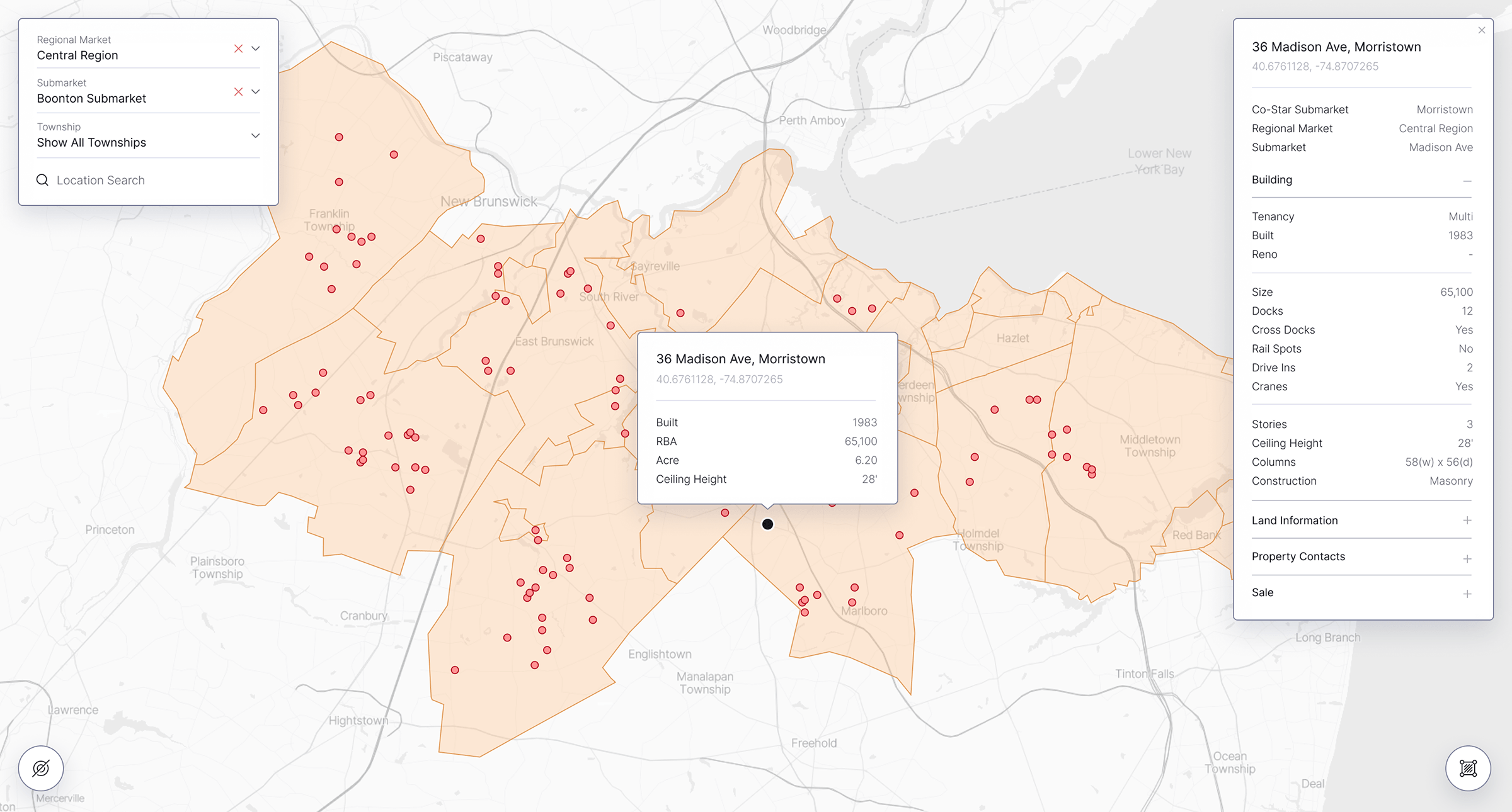
Connected filters allow users to move from regional markets to submarkets and individual townships while dynamically updating boundaries and property results. Custom search, interactive markers, hover previews, detailed information panels, and street or satellite map styles provide multiple ways to explore and evaluate each location.
Key Outcomes
The completed application provides a centralized visual workspace for researching industrial real estate markets. Users can examine property inventory, compare lease transactions, explore market boundaries, and review detailed building information without switching between separate spreadsheets and mapping tools.
Its reusable data-processing and filtering architecture provides a foundation for adding new properties, transactions, geographic areas, and market classifications. SiteMatrix can evolve alongside the underlying real estate datasets while maintaining a consistent analytical workflow as business requirements continue to change.