Overview
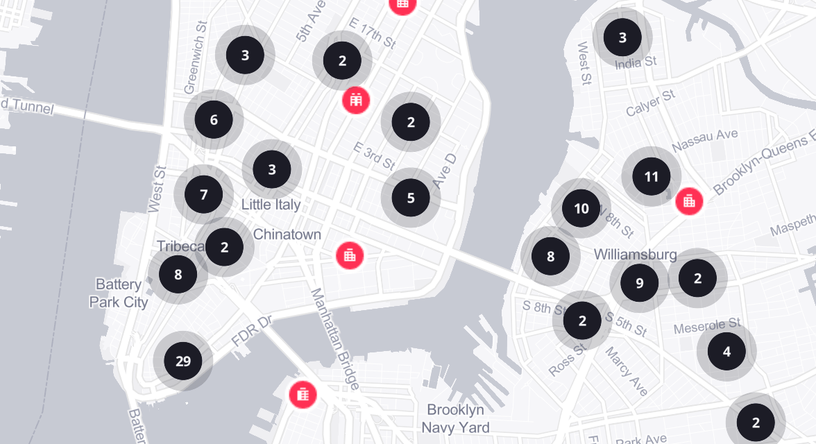
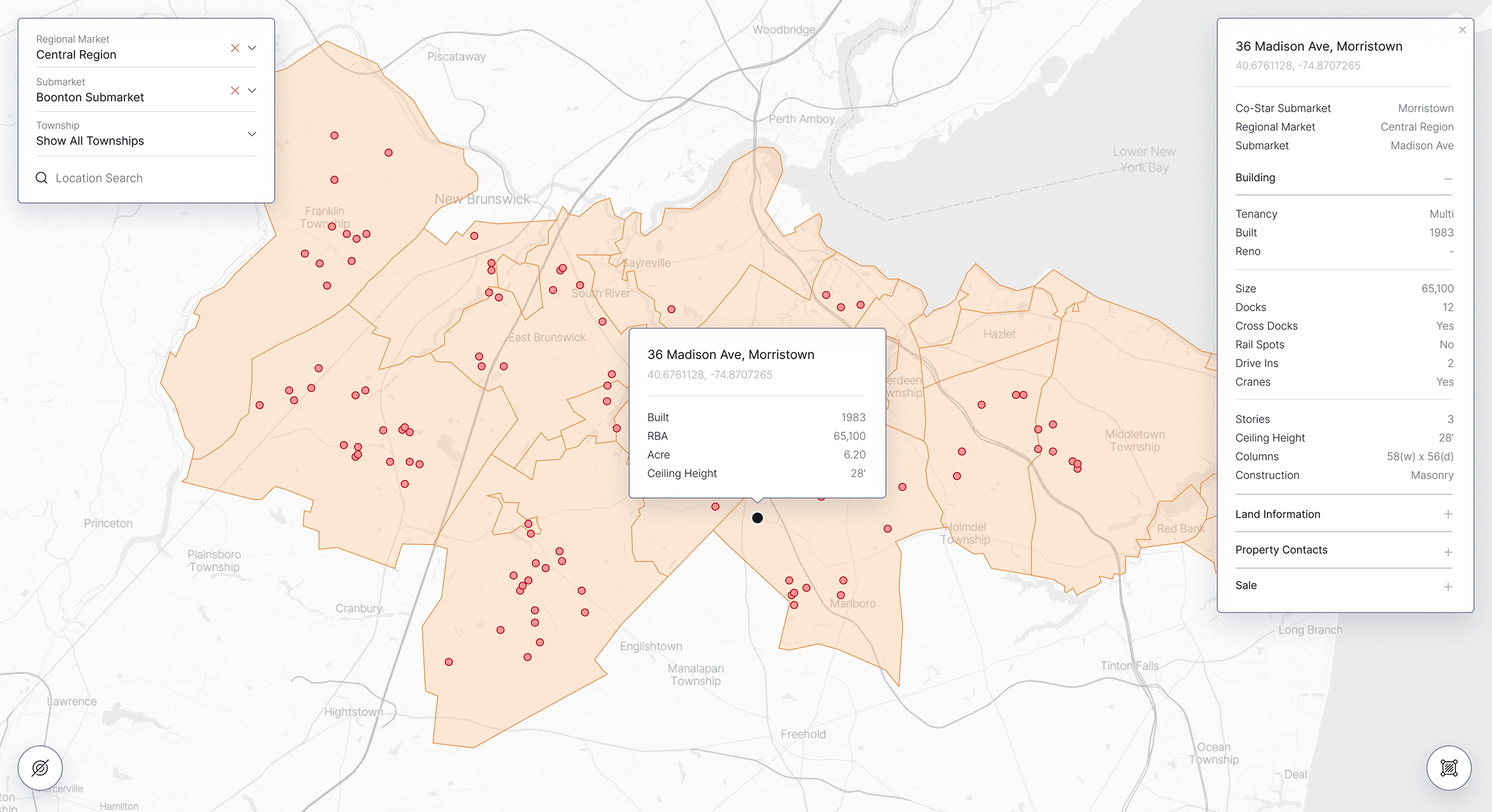
Treweler 3D Models Addon is a commercial WordPress extension that expands Treweler Pro with support for interactive 3D content. It enables GLB models to be uploaded, configured, positioned, and displayed directly on Mapbox maps through the WordPress administration area.
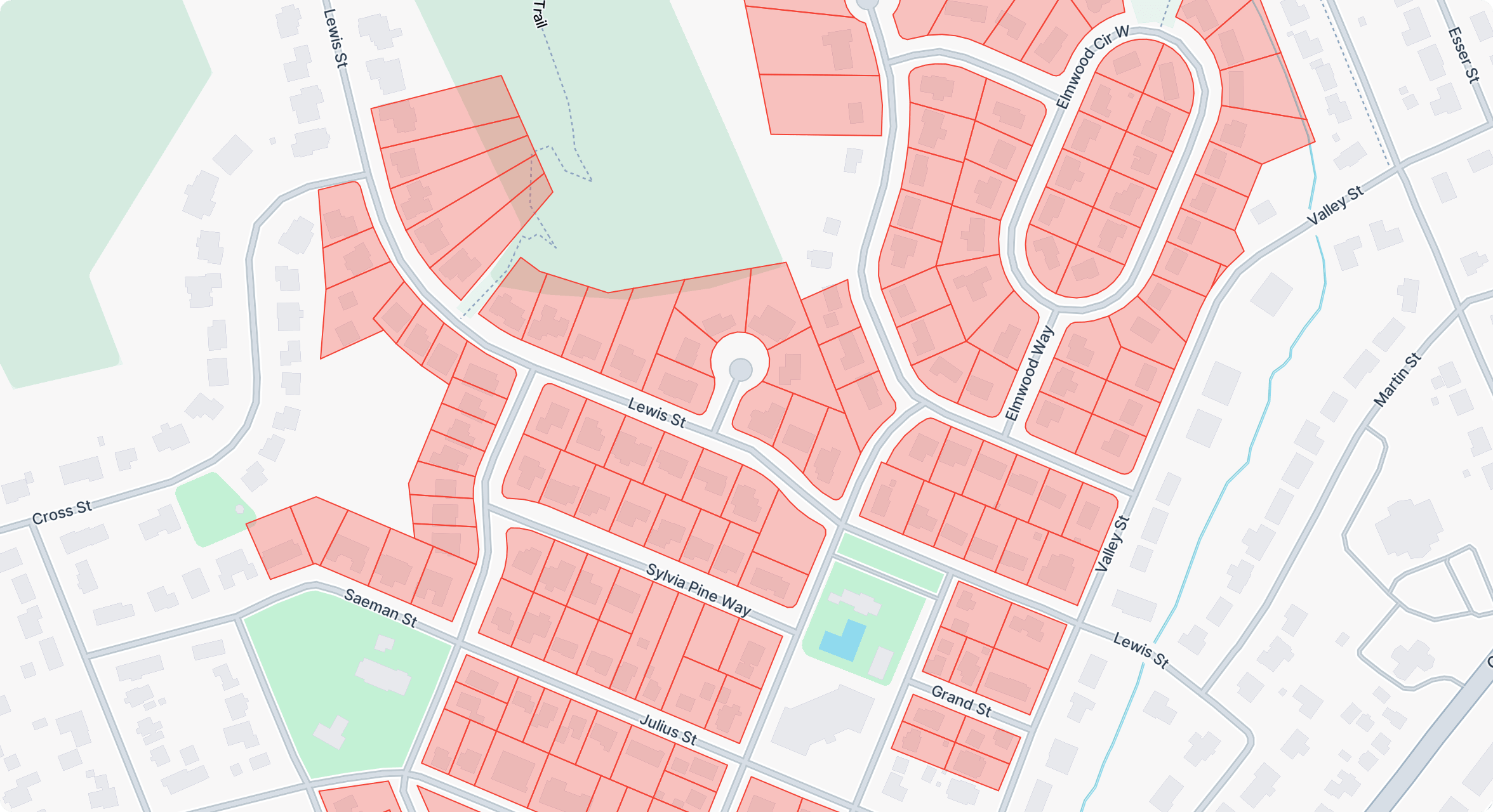
A dedicated 3D Models interface provides real-time map previews and detailed controls for model coordinates, altitude, scale, rotation, color, and lighting. Models can be positioned visually or with precise latitude and longitude values, then assigned to one or multiple Treweler maps.
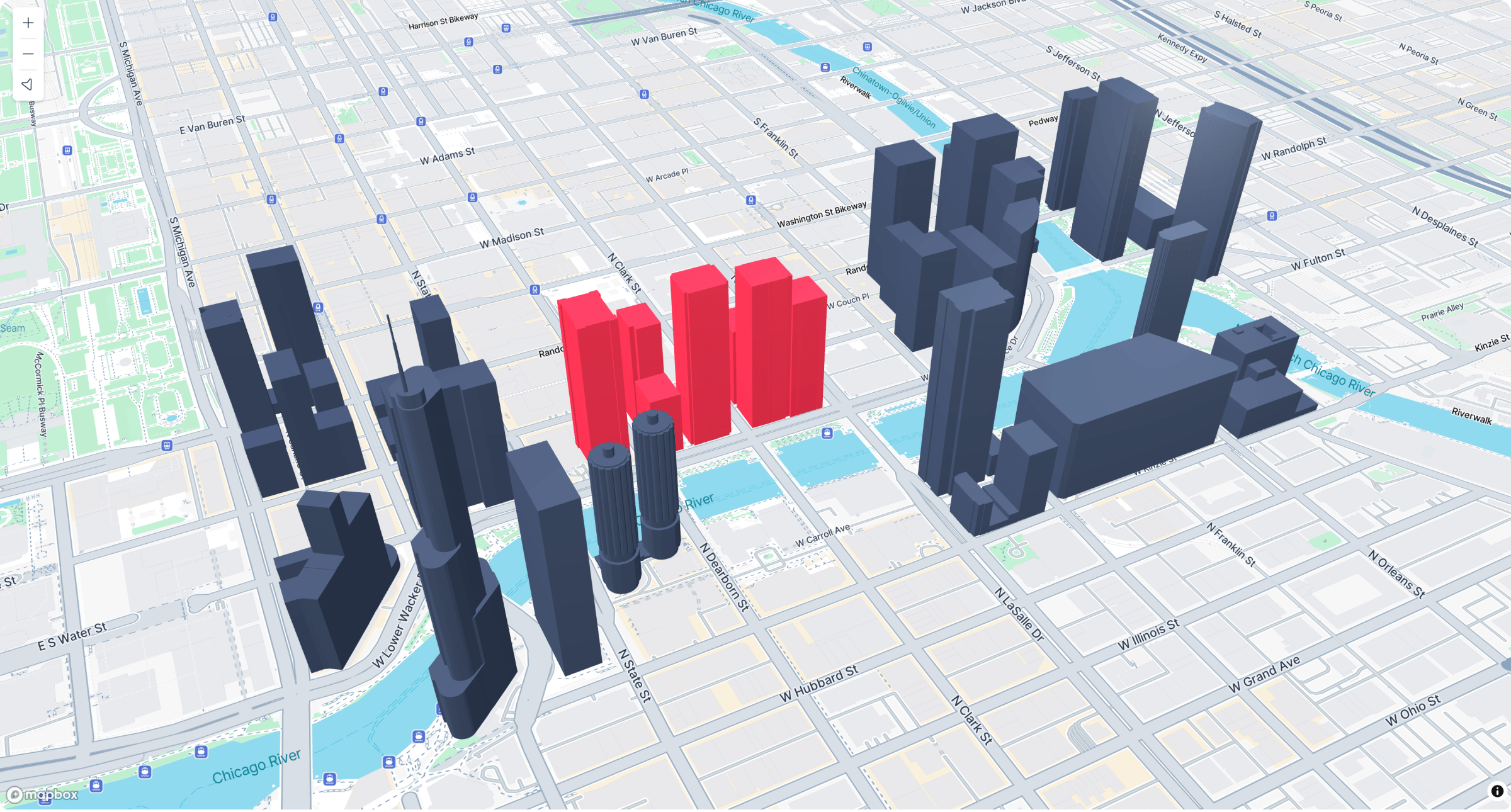
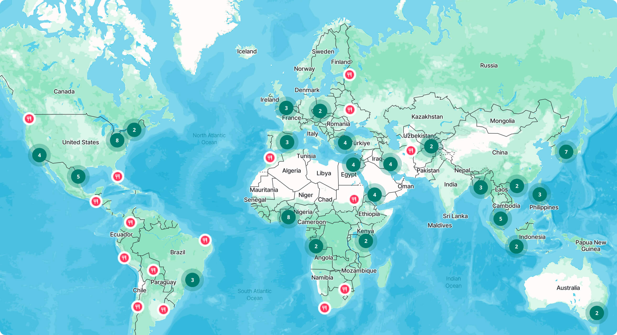
The addon supports simple and textured models, custom hover states, clickable links, and connections with existing Treweler markers. These capabilities allow 3D objects to become interactive elements within maps, store locators, popups, and other location-based experiences.
Core Challenges
The primary challenge was integrating three-dimensional assets into a mapping environment without introducing a complex development workflow. Model uploading, geographic placement, visual configuration, lighting, and interaction settings needed to remain accessible within the familiar WordPress and Treweler interfaces.
Rendering detailed 3D models also creates significant performance considerations. Large files, complex geometry, multiple models, textures, lighting sources, and antialiasing can affect map responsiveness, requiring careful control over asset optimization and rendering quality.
The Solution
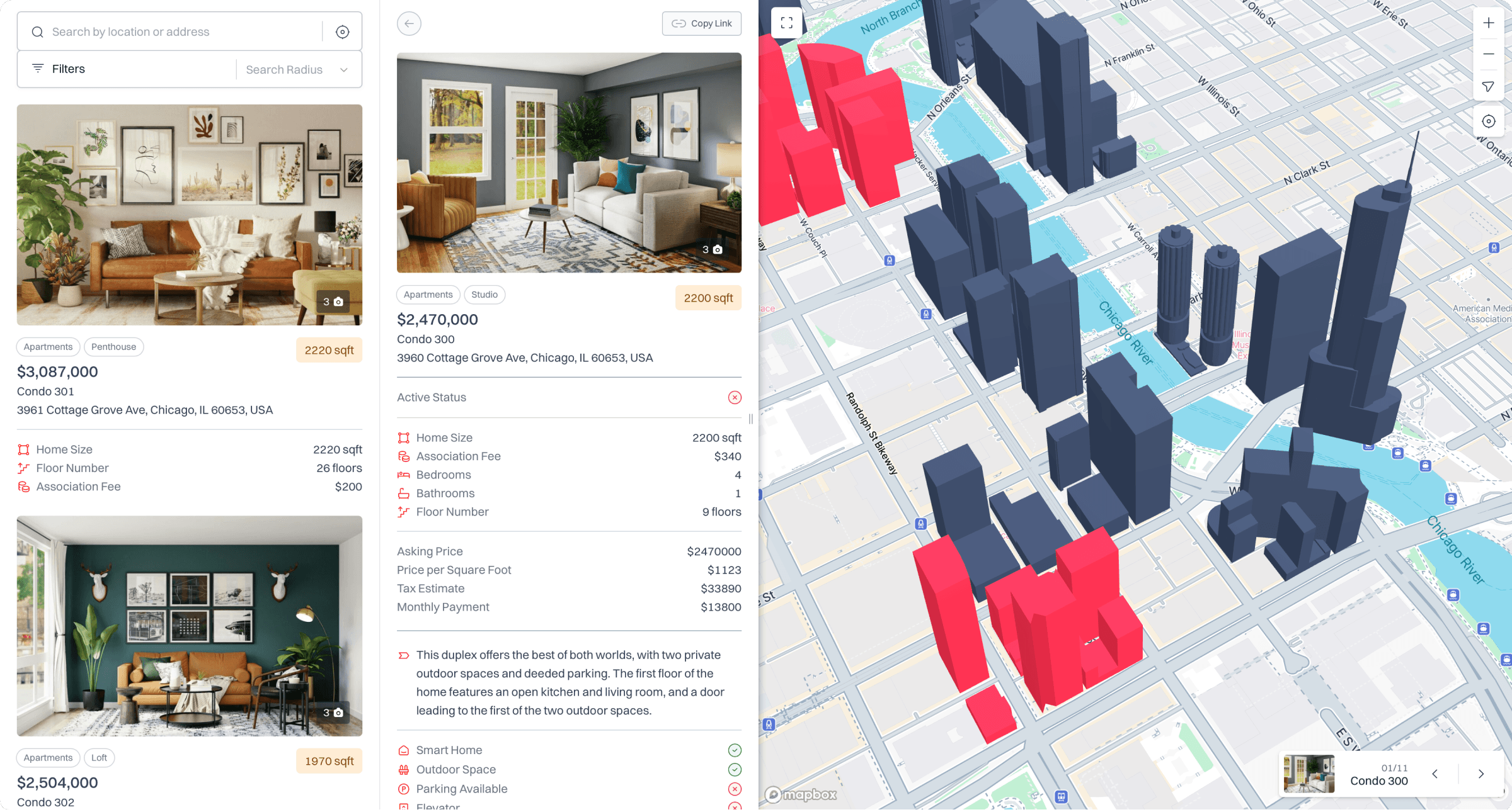
The addon was developed as a native extension of the Treweler Pro workflow, introducing a dedicated 3D Models menu in WordPress. Users can upload GLB files, preview models directly on a map, enter precise coordinates, assign models to multiple maps, and adjust their appearance without leaving the administration interface.
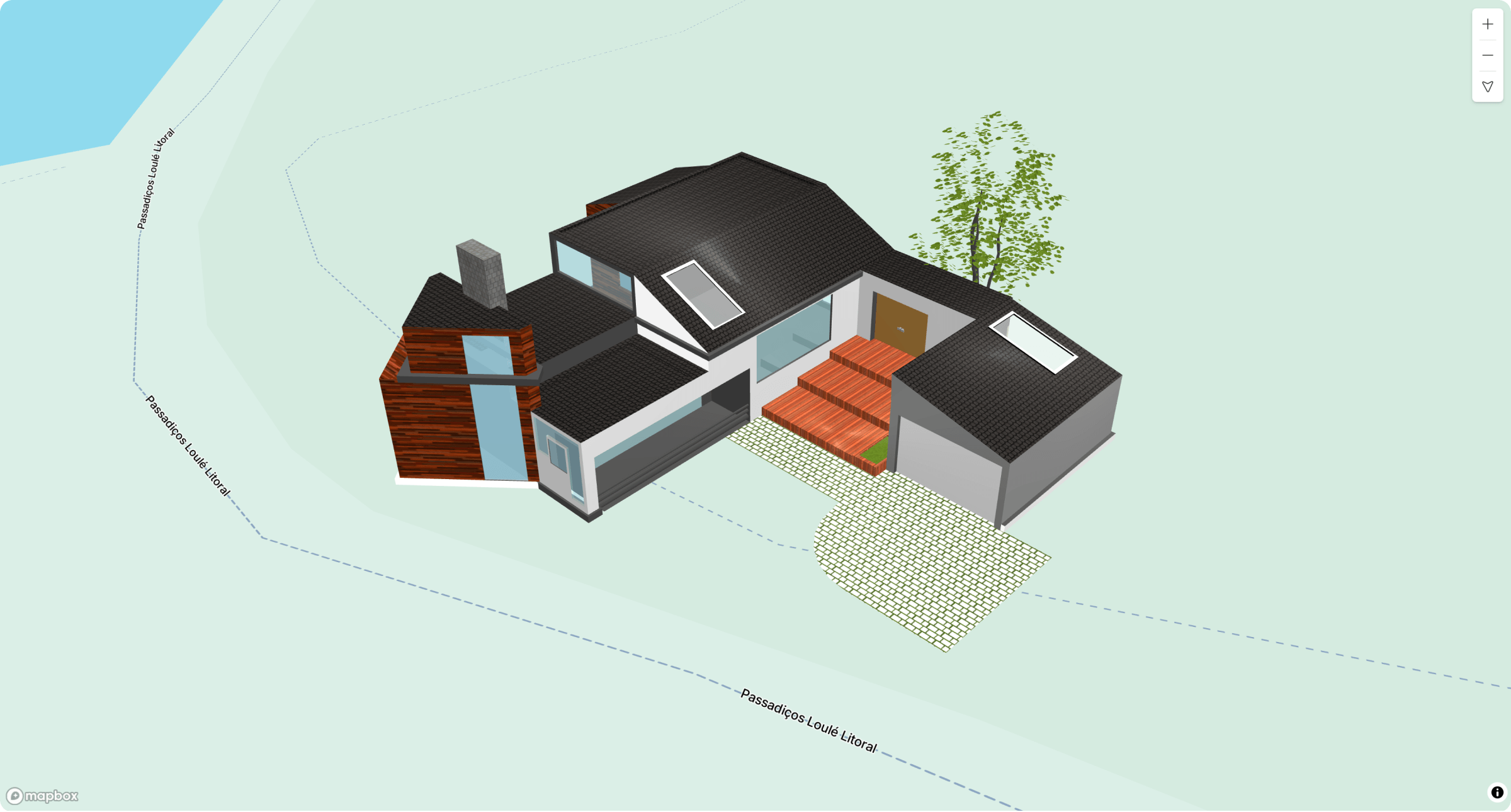
Advanced controls provide proportional scaling, altitude adjustment, rotation, default and hover colors, clickable links, and configurable ambient and directional lighting. Marker triggers connect models with popups and Store Locator content, while Draco compression support helps reduce model file sizes without significantly compromising visual quality.
Key Outcomes
The completed addon makes browser-based 3D mapping accessible through a visual WordPress workflow. Interactive models can be positioned and configured without developing custom 3D map layers or manually implementing model loading, transformations, lighting, and user interactions.
The addon expands the types of experiences that can be created with Treweler, supporting architectural models, landmarks, buildings, infrastructure, products, and other spatial objects. Its reusable settings and multi-map support provide a flexible foundation for visually rich location-based projects.