

Treweler — Mapbox Map Builder for WordPress
A flexible WordPress plugin for building custom, interactive Mapbox maps without the complexity of developing a mapping platform from scratch.
Interactive maps and location-based solutions that turn complex geographic data into clear, engaging, and actionable insights.
We build mapping products that combine geographic data, interactive functionality, and clear visual structure. From custom map interfaces and routing to geolocation, data visualization, and 3D environments, each solution is designed around the way spatial information needs to be explored and used.
Custom interactive maps with dynamic layers, user controls, data-driven content, and application-specific functionality.
Location-aware functionality for positioning, proximity search, nearby content, tracking, and other coordinate-based features.
Route calculation, directions, waypoint handling, travel paths, and navigation features based on geographic data.
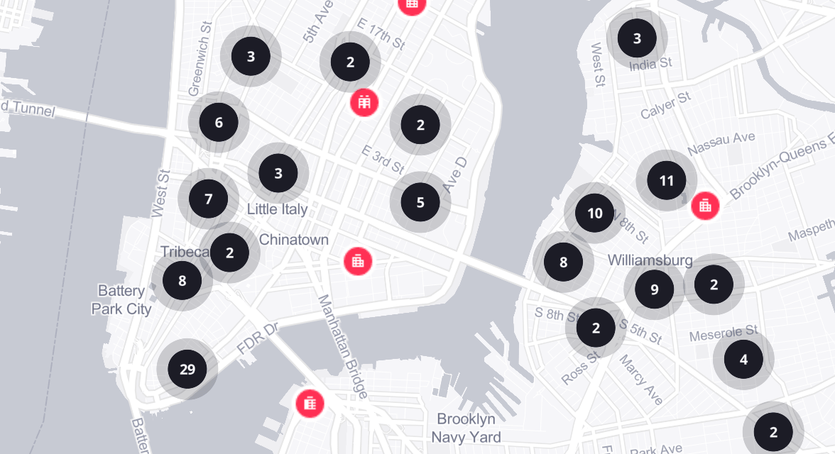
Visualization of spatial datasets through markers, clusters, heatmaps, regions, overlays, and other map-based representations.
Three-dimensional map experiences using terrain, buildings, elevation data, custom layers, and interactive camera controls.
Custom map appearance including colors, labels, layers, symbols, visibility rules, and visual styles adapted to the interface.
Delivering high-quality digital products, custom web and mapping solutions for businesses worldwide. Combining thoughtful design with reliable engineering to build scalable solutions that support business growth and innovation.
A flexible WordPress plugin for building custom, interactive Mapbox maps without the complexity of developing a mapping platform from scratch.
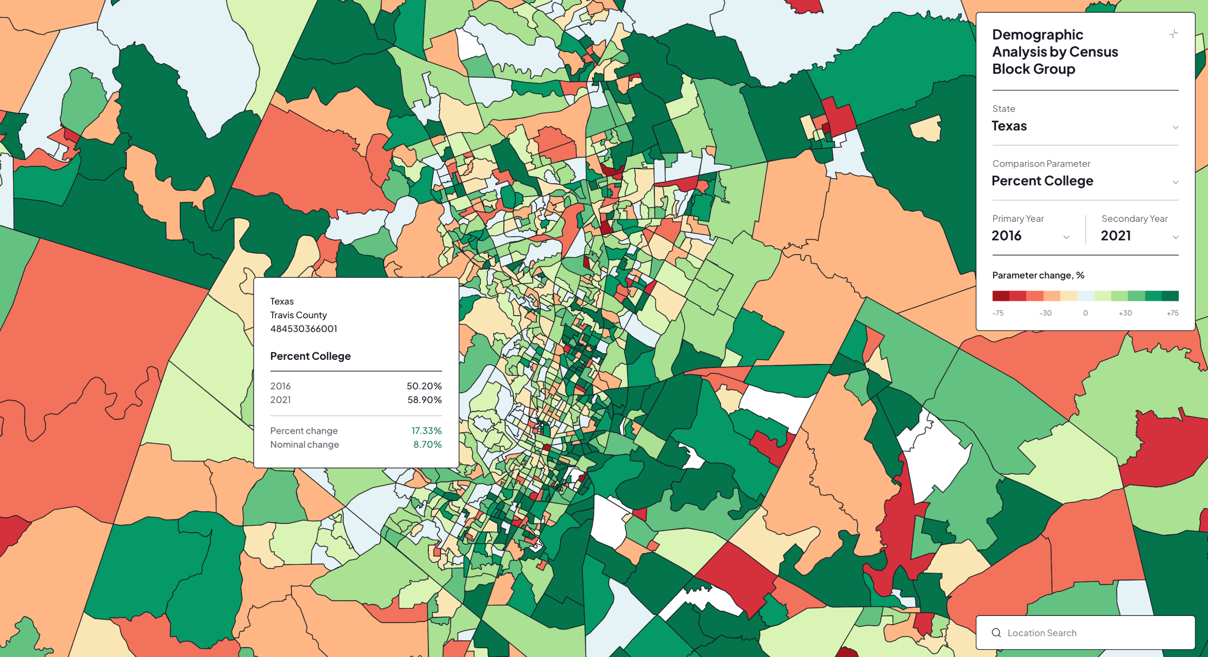
An interactive mapping application for exploring and comparing demographic change across census block groups in Ohio and Texas.
An online design platform for creating CNC-ready vector maps used to produce personalized, framed wooden artwork based on locations selected by each customer.

An interactive platform for discovering, filtering, and submitting pre-construction assignment listings through a map-based experience.
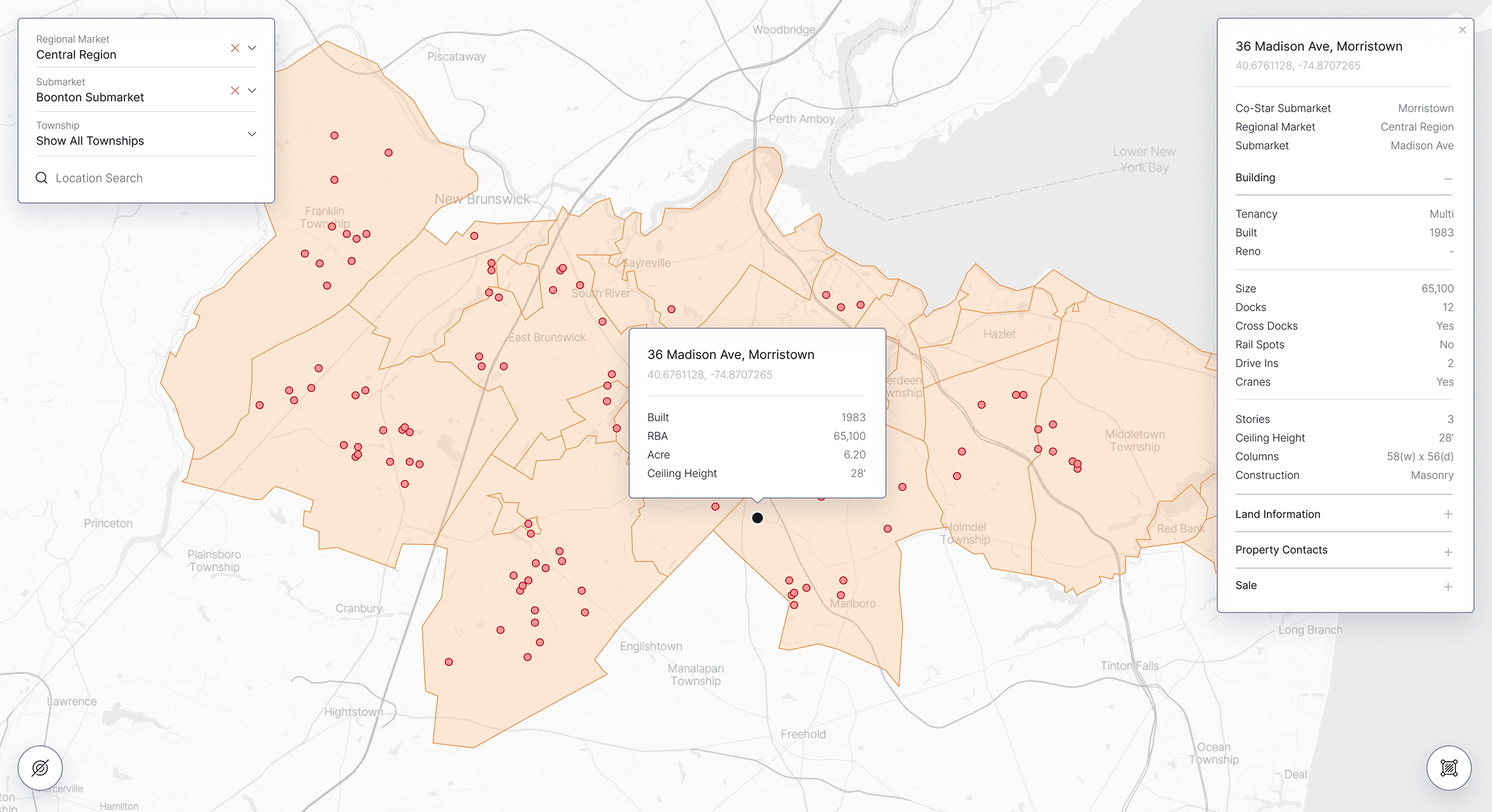
An interactive mapping platform for exploring industrial properties, lease comparables, and market boundaries within a unified geographic interface.
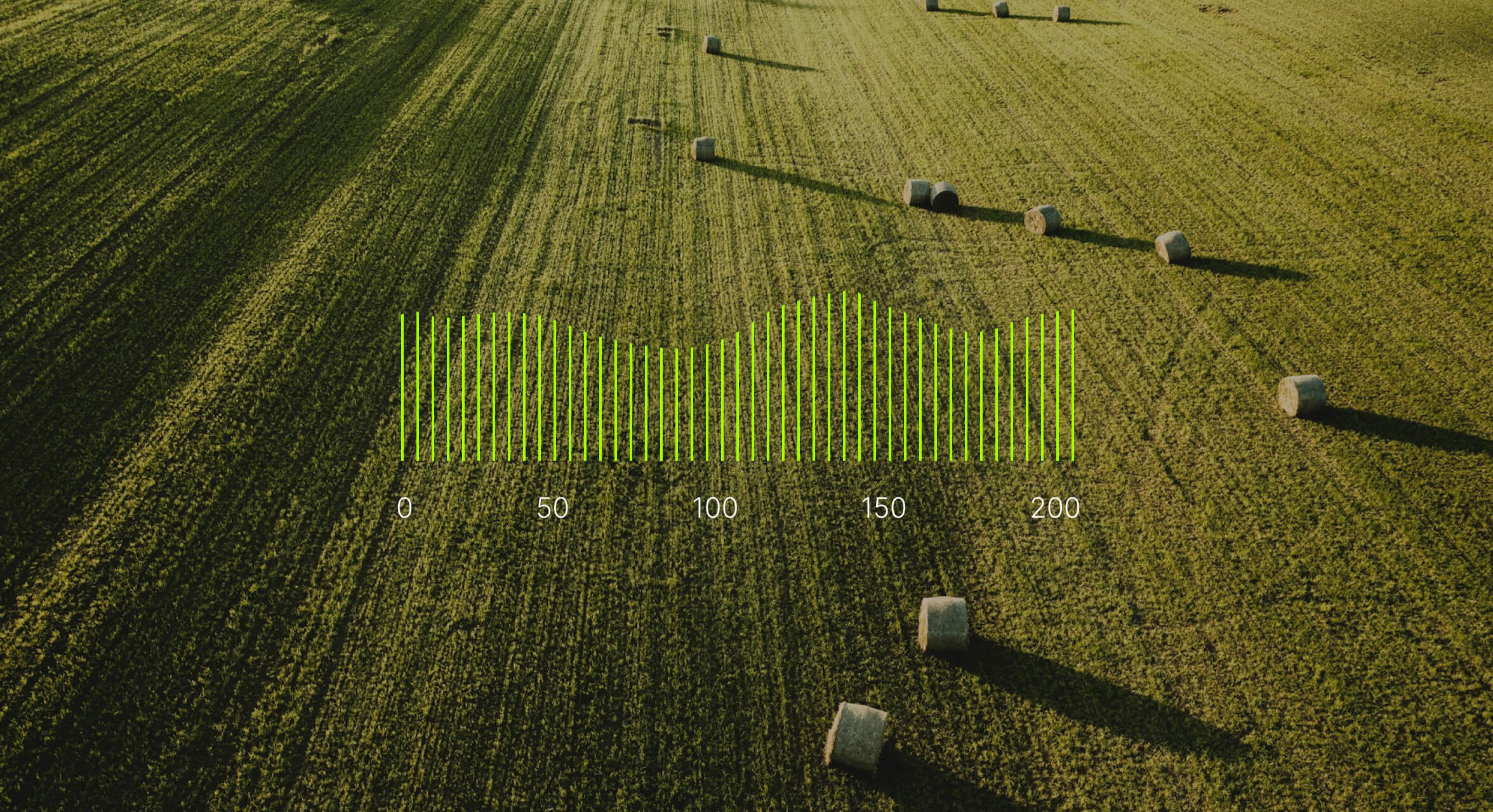
A map-based farm management system for monitoring field conditions, analyzing operational data, and remotely controlling connected agricultural infrastructure.
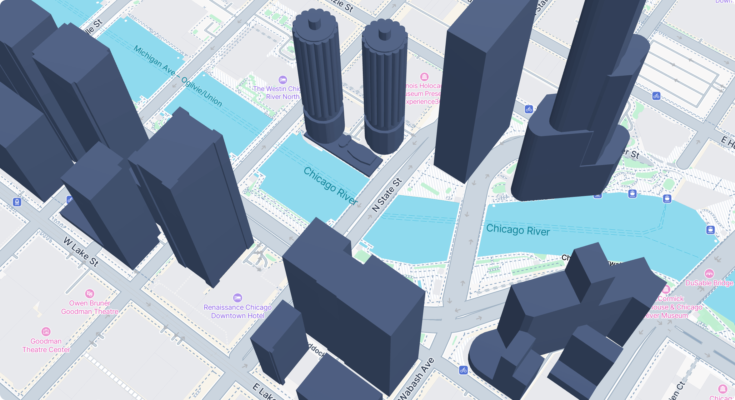
A powerful WordPress extension for adding, configuring, and presenting interactive GLB 3D models across custom Treweler maps.
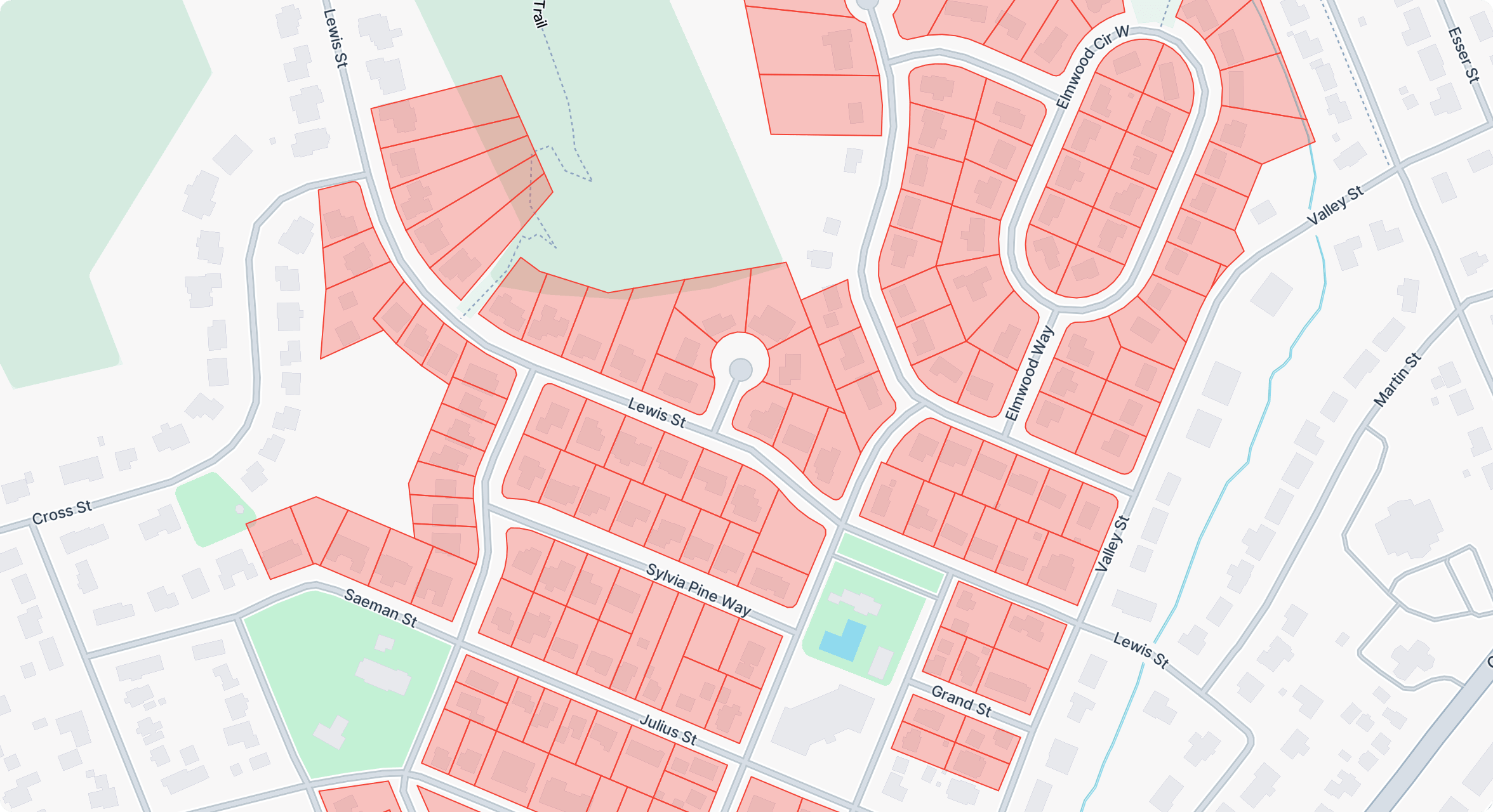
A powerful WordPress extension for importing, managing, styling, and presenting interactive GeoJSON data across custom Treweler maps.
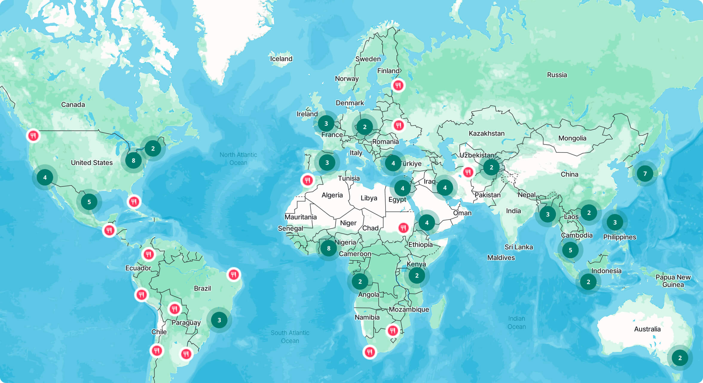
A flexible WordPress extension for collecting, reviewing, and publishing user-submitted locations directly through interactive Treweler maps.
A clear and flexible workflow keeps every project focused, transparent, and aligned with its goals through informed decisions and close collaboration.

We work on interactive maps, location-based applications, routing tools, data visualization, custom map interfaces, and other products built around geographic information.
We can work with platforms such as Mapbox, MapLibre, Google Maps, and OpenStreetMap, along with custom tiles, external datasets, geocoding services, and spatial APIs.
Yes. This can include route calculation, directions, waypoint handling, proximity search, user location, tracking, and other coordinate-based functionality.
Yes. Depending on the project, data can be processed and displayed using clustering, vector tiles, filtering, aggregation, custom layers, and other techniques suited to larger spatial datasets.
Yes. We can build 3D map experiences using terrain, elevation, buildings, custom layers, animated elements, and data-driven visualizations where a standard 2D map is not enough.
Can’t find the answer you’re looking for? Contact us and we’ll help point you in the right direction.
Share your goals and challenges, and we’ll help define the right approach, priorities, and next steps for a successful and well-planned project.
Contact UsRequired for the website to function and cannot be switched off. They are usually set in response to actions you make, such as setting privacy preferences or logging in.
Help us understand how visitors interact with the website by collecting and reporting information anonymously.