Overview
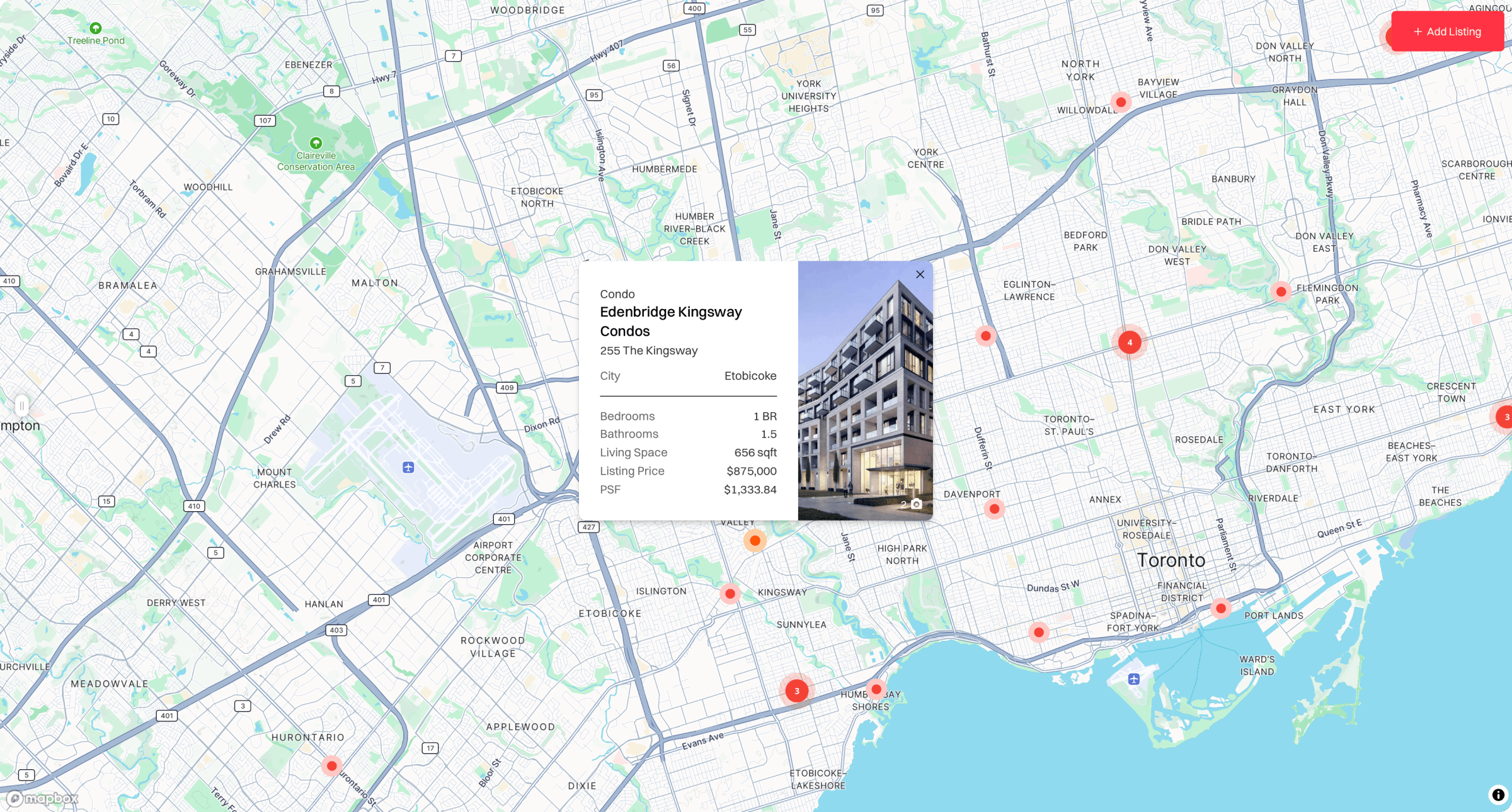
Precondo Assignments is a map-based platform that brings pre-construction assignment listings into a single, visually organized interface. Buyers and investors can explore available properties by location while viewing relevant listing information directly from the map.
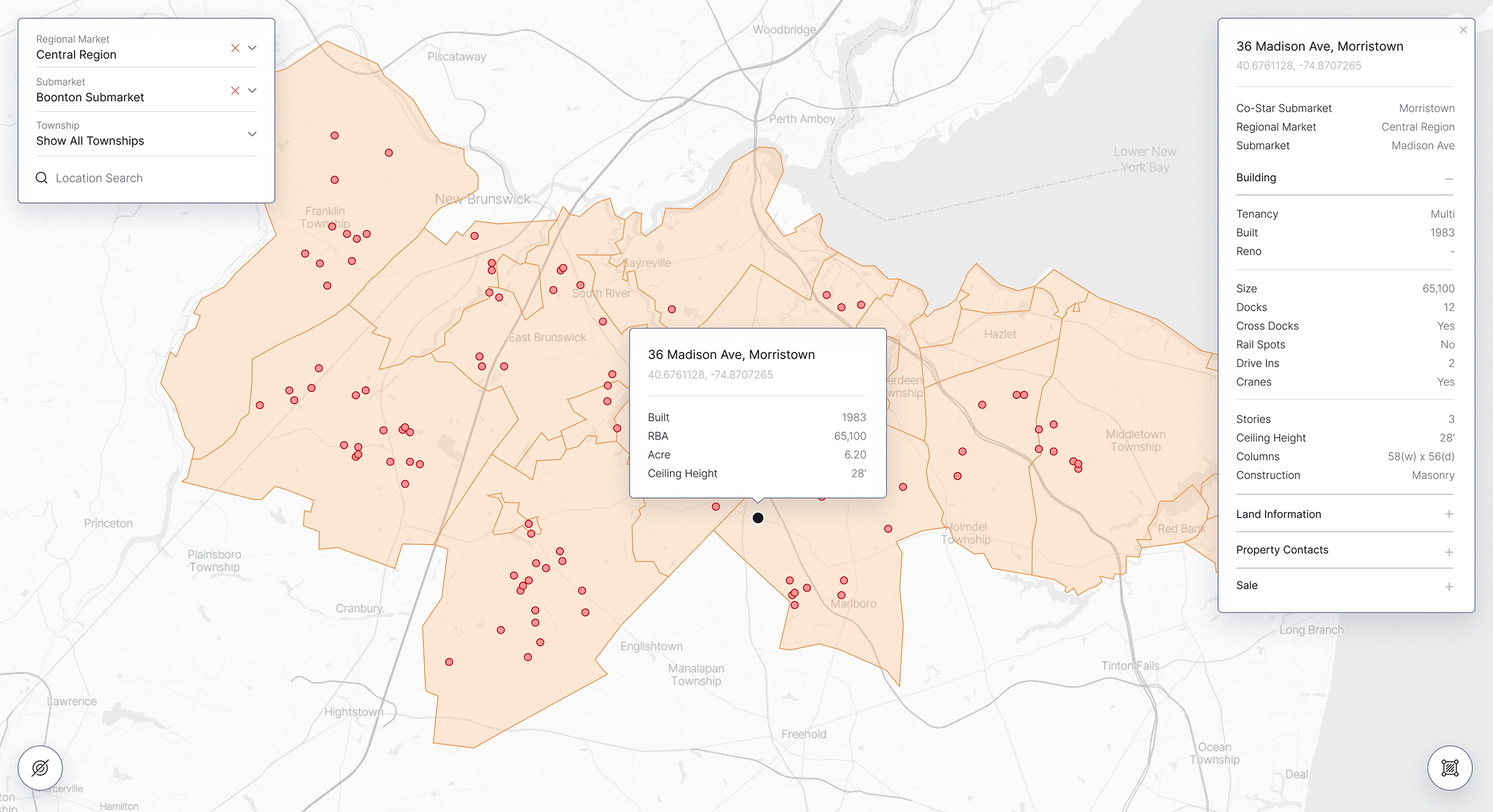
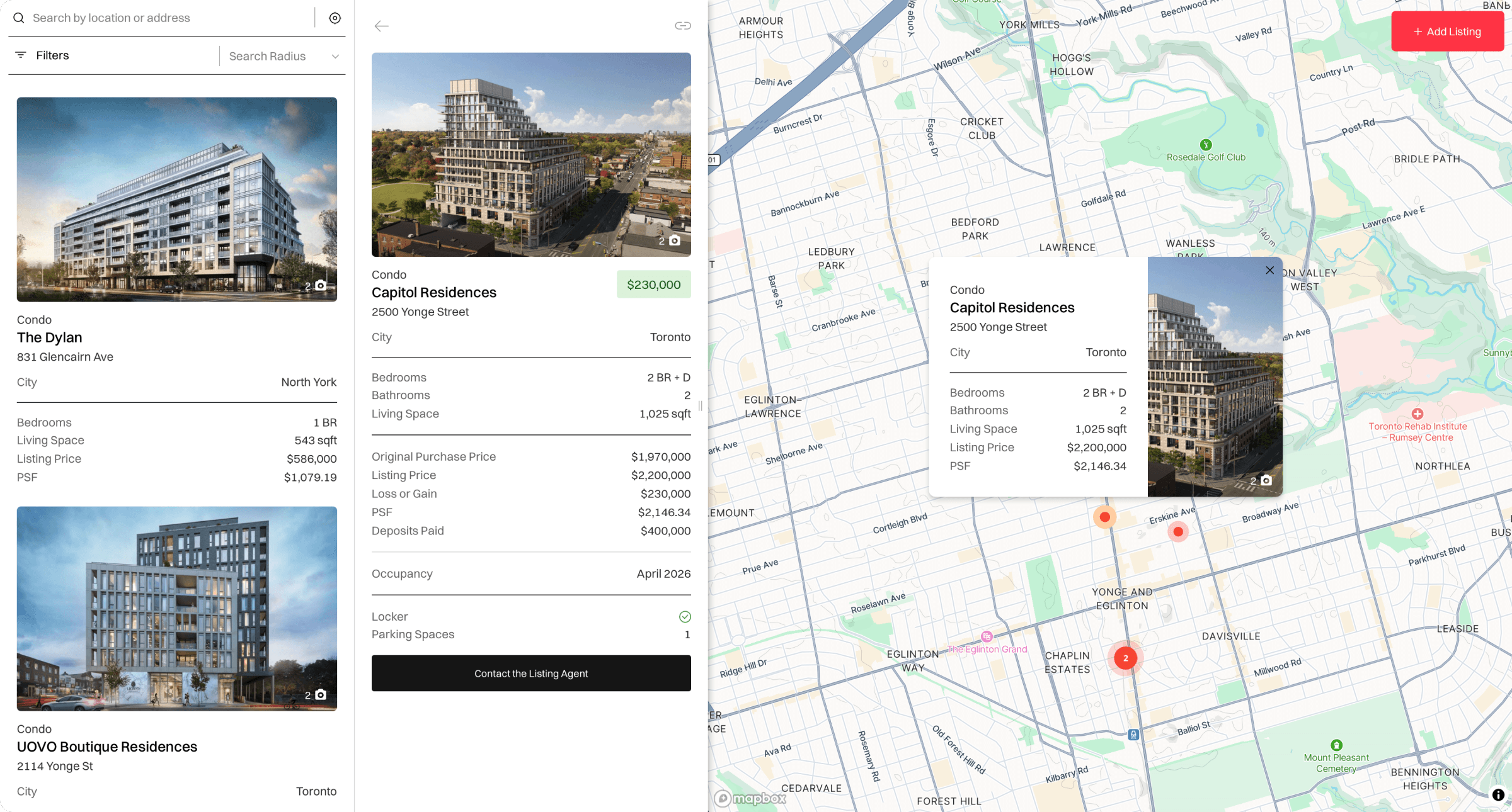
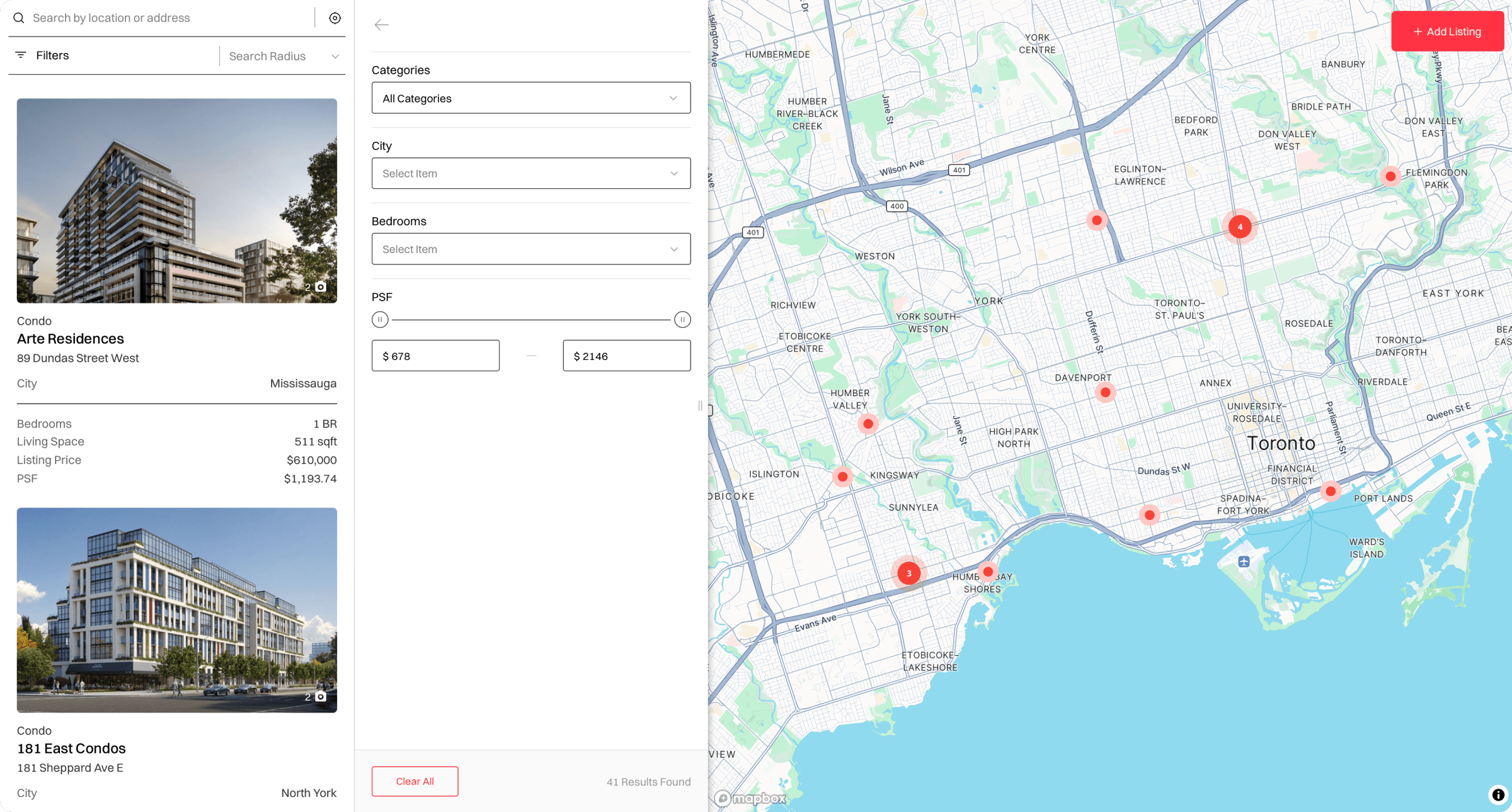
Search tools and filters help users narrow listings by location and property characteristics. Each listing combines images, pricing, property specifications, occupancy details, and agent information within an accessible map card.
The platform also supports public listing submissions. Agents and contributors can pinpoint a property on the map, upload images, provide structured property details, and submit the listing for administrative review before publication.
Core Challenges
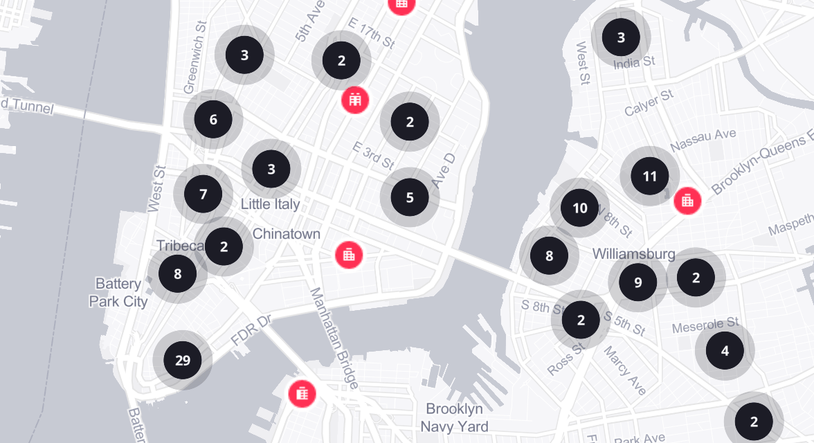
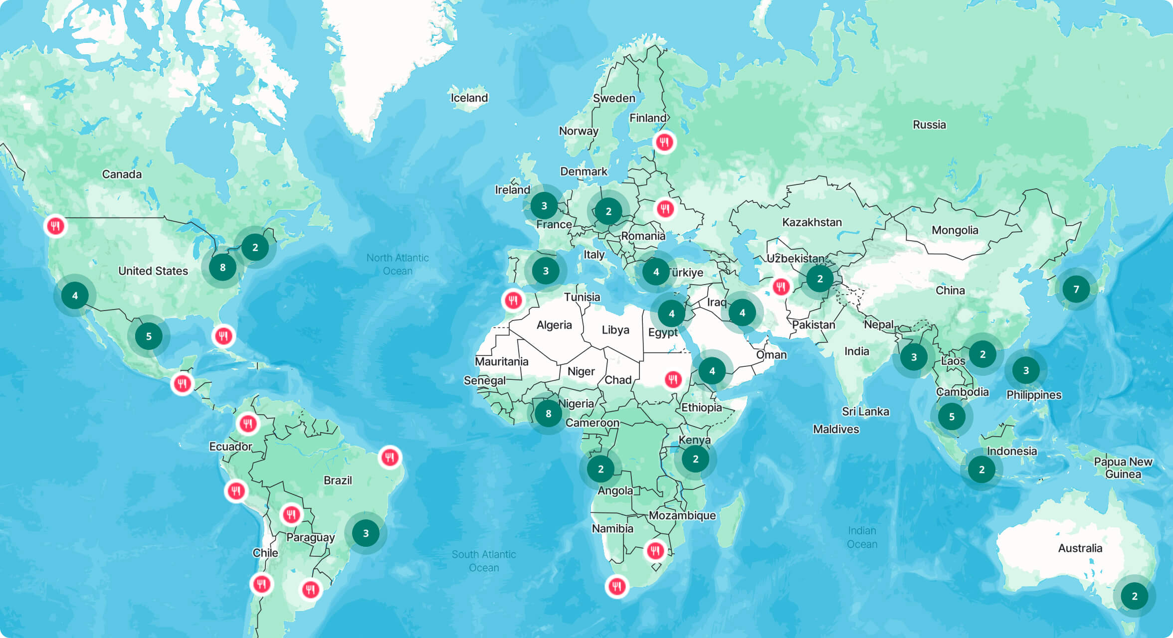
The platform needed to present a growing collection of property listings without making the map feel crowded or difficult to navigate. Geographic search, marker clustering, filters, listing cards, and image galleries had to work together within a responsive interface.
Public submissions introduced additional requirements around data consistency and moderation. The workflow needed clear validation, accurate map positioning, controlled image uploads, structured property fields, and an approval process that prevented incomplete listings from being published.
The Solution
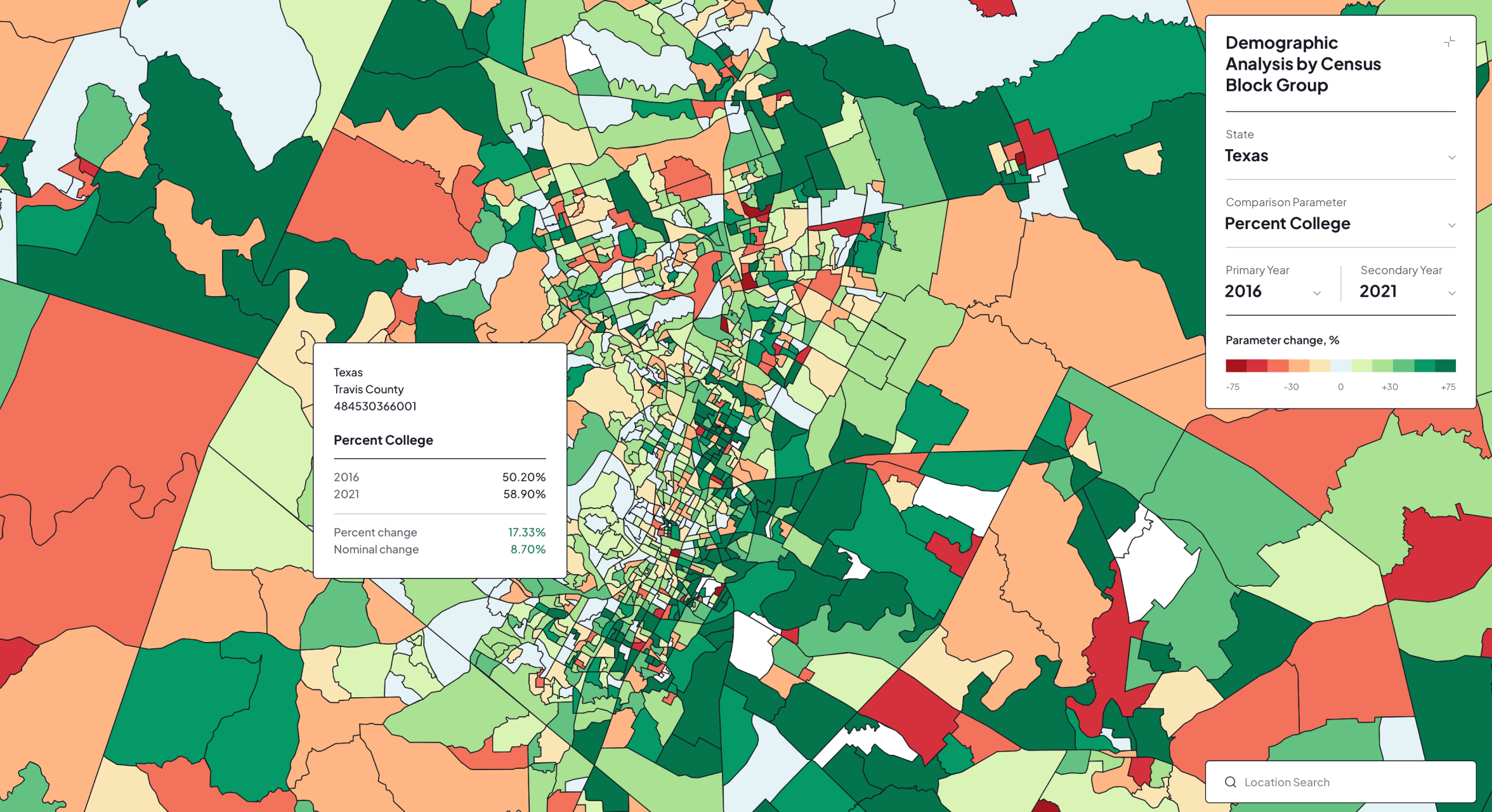
The platform was developed on WordPress using Treweler Pro and Mapbox. An interactive map combines marker clustering, location search, filtering, detailed listing cards, image galleries, and shareable links to provide a focused property discovery experience.
The Treweler Marker Submission Addon powers a structured front-end submission workflow with precise location selection and manual approval. Gravity Forms connects prospective buyers with the relevant listing agent while automatically passing property information from the selected listing.
Key Outcomes
Precondo Assignments provides a unified environment for discovering properties, reviewing essential details, and contacting listing agents. The map-first interface makes geographic relationships immediately visible while keeping individual listings easy to access and compare.
The submission and moderation workflow also creates a scalable foundation for expanding the property database. Contributors can supply new listings through a consistent form, while administrators retain control over accuracy, presentation, and publication.